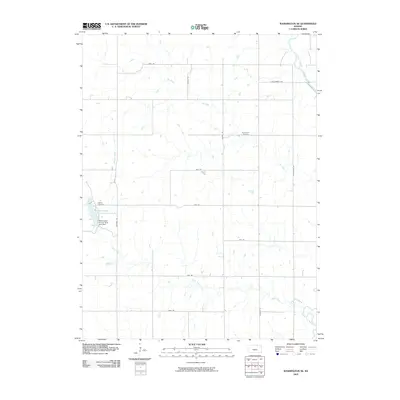
2009 Map of Washington NE
USGS Topo · Published 2009About this map
The Little Blue River cuts across the northeastern corner of this rural Kansas landscape, while the western reaches are defined by the recreation and infrastructure of Washington County State Lake. This 2009 survey illustrates a deeply rooted agricultural grid, where long-established road networks like Prairie Rd and Sunflower Rd partition the prairie. Local history is anchored by the Silver Cliff Cemetery and Gasket Cemetery, which provide vital touchpoints for genealogists researching families from this part of the county. The hydrological profile of the area is quite complex for a prairie region, featuring the Washington County State Lake Dam and several winding tributaries including Devils Creek, Spring Creek, and Mill Creek.
Find a feature on this map
21 named features on this map. Tap any name to fly to it.
Don’t see what you’re looking for? This feature index may not catch every label — zoom into the map to look around manually.
Map Details
Editions of this 2009 Washington NE Map
This is the sole edition of this map. No revisions or reprints were ever made.
Other maps of this area

1889 · Marysville
USGS Topo · 1:125,000

1893 · Washington
USGS Topo · 1:125,000

1894 · Marysville
USGS Topo · 1:125,000

1955 · Manhattan
USGS Topo · 1:250,000

1955 · Lincoln
USGS Topo · 1:250,000

1956 · Manhattan
USGS Topo · 1:250,000

1957 · Manhattan
USGS Topo · 1:250,000

1957 · Lincoln
USGS Topo · 1:250,000

1958 · Lincoln
USGS Topo · 1:250,000

1960 · Fairbury SW
USGS Topo · 1:24,000