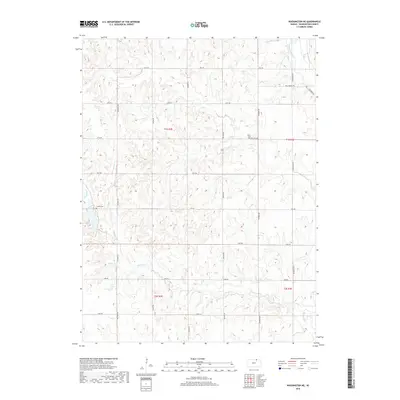
2018 Map of Washington NE
USGS Topo · Published 2018About this map
Little Blue River winds through the northeastern corner of this rural landscape, carving a valley that defines the local drainage patterns. Tributaries like Joy Cr, Devils Cr, and Spring Cr fan out across the agricultural land, illustrating the natural watershed of northeastern Washington County. The terrain is divided into a geometric grid by a network of rural routes such as National Rd and Sunflower Rd, reflecting the enduring influence of the Public Land Survey System.
Find a feature on this map
28 named features on this map. Tap any name to fly to it.
Don’t see what you’re looking for? This feature index may not catch every label — zoom into the map to look around manually.
Map Details
Editions of this 2018 Washington NE Map
This is the sole edition of this map. No revisions or reprints were ever made.
Other maps of this area

1889 · Marysville
USGS Topo · 1:125,000

1893 · Washington
USGS Topo · 1:125,000

1894 · Marysville
USGS Topo · 1:125,000

1955 · Manhattan
USGS Topo · 1:250,000

1955 · Lincoln
USGS Topo · 1:250,000

1956 · Manhattan
USGS Topo · 1:250,000

1957 · Manhattan
USGS Topo · 1:250,000

1957 · Lincoln
USGS Topo · 1:250,000

1958 · Lincoln
USGS Topo · 1:250,000

1960 · Fairbury SW
USGS Topo · 1:24,000