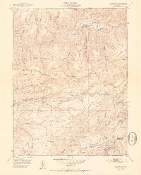
1951 Map of Washington
USGS Topo · Published 1951About this map
South Fork Yuba River dominates the northern landscape of this Nevada County gold country map, where the settlement of Washington sits at the confluence with Washington Creek. The area is a dense record of hydraulic and hard-rock mining history, evidenced by the extensive Alpha Diggings and Omega Diggings on the high ridges. Complex water management infrastructure, including the Cascade Canal and various flumes, supported both mining and later hydroelectric development at Drum Powerhouse.
Find a feature on this map
78 named features on this map. Tap any name to fly to it.
Don’t see what you’re looking for? This feature index may not catch every label — zoom into the map to look around manually.
Map Details
Editions of this 1951 Washington Map
2 editions found
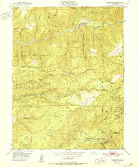
Other maps of this area

1891 · Colfax
USGS Topo · 1:125,000

1892 · Colfax
USGS Topo · 1:125,000

1894 · Colfax
USGS Topo · 1:125,000

1898 · Colfax
USGS Topo · 1:125,000

1900 · Colfax
USGS Topo · 1:125,000

1902 · Colfax
USGS Topo · 1:125,000

1938 · Colfax
USGS Topo · 1:125,000

1949 · Chicago Park
USGS Topo · 1:24,000
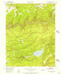
1949 · North Bloomfield
USGS Topo · 1:24,000
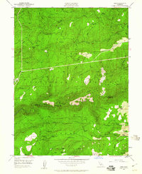
1949 · Pike
USGS Topo · 1:24,000