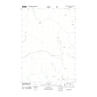
2011 Map of Washington Peak
USGS Topo · Published 2011About this map
Washington Peak anchors this high-elevation landscape in Custer County, situated within the White Cloud Peaks range. The terrain is defined by a dense concentration of alpine basins and glacial lakes, including Ocal Kens Lake, Heart Lake, and the Champion Lakes. These water bodies feed a network of high-country drainage systems such as Warm Springs Creek and Fisher Creek.
Find a feature on this map
26 named features on this map. Tap any name to fly to it.
Don’t see what you’re looking for? This feature index may not catch every label — zoom into the map to look around manually.
Map Details
Editions of this 2011 Washington Peak Map
This is the sole edition of this map. No revisions or reprints were ever made.
Other maps of this area

1900 · Sawtooth
USGS Topo · 1:125,000

1919 · Custer
USGS Topo · 1:125,000

1922 · Custer
USGS Topo · 1:125,000

1955 · Hailey
USGS Topo · 1:250,000

1957 · Challis
USGS Topo · 1:250,000

1959 · Hailey
USGS Topo · 1:250,000

1960 · Challis
USGS Topo · 1:250,000

1962 · Hailey
USGS Topo · 1:250,000

1963 · Challis
USGS Topo · 1:250,000

1963 · Casino Lakes
USGS Topo · 1:24,000