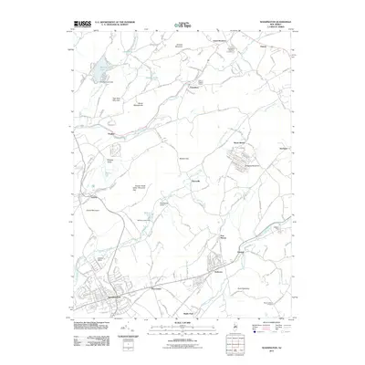
2011 Map of Washington
USGS Topo · Published 2011About this map
Washington serves as a significant regional hub within this 2011 survey of Warren County, positioned where the valley floor meets the slopes of Oxford Mountain. The landscape is defined by the parallel paths of the Pequest River, Pohatcong Creek, and Musconetcong River, which carve through the ridges of Danville Mountain and Baldpate Mountain. Traces of earlier industry and transport remain visible in the alignment of the Morris Canal, particularly near Port Colden and Port Murray.
Find a feature on this map
154 named features on this map. Tap any name to fly to it.
Don’t see what you’re looking for? This feature index may not catch every label — zoom into the map to look around manually.
Map Details
Editions of this 2011 Washington Map
This is the sole edition of this map. No revisions or reprints were ever made.
Other maps of this area

1888 · Hackettstown
USGS Topo · 1:62,500

1890 · Easton
USGS Topo · 1:62,500

1890 · High Bridge
USGS Topo · 1:62,500

1891 · Easton
USGS Topo · 1:62,500

1891 · Delaware Water Gap
USGS Topo · 1:62,500

1893 · Delaware Water Gap
USGS Topo · 1:62,500

1894 · Hackettstown
USGS Topo · 1:62,500

1898 · Hackettstown
USGS Topo · 1:62,500

1898 · High Bridge
USGS Topo · 1:62,500

1900 · Raritan
USGS Topo · 1:125,000
Featured Places
- Washington, NJ
- Oxford Township, NJ
- Hope Township, NJ
- Port Murray, Mansfield Township
- Washington Township, NJ