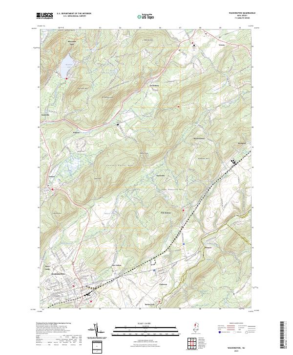
2023 Map of Washington
USGS Topo · Published 2023About this map
Washington and the surrounding Warren County landscape are defined by a series of northeast-trending ridges and valleys, including the Pohatcong Valley and Musconetcong Valley. This 2023 survey illustrates the enduring settlement patterns established during the era of canal and rail transport, notably at Port Murray and Port Colden, both historically linked to the Morris Canal corridor. The terrain is marked by prominent elevations such as Oxford Mtn, County House Mtn, and Jenny Jump Mtn, which frame the agricultural and residential pockets of Brass Castle and Townsbury. Local history and genealogy are anchored by features like the Pequest Union Cem and County Home Cem, while water bodies like Mountain Lake and the Pequest River continue to shape the local geography and recreation. The map also captures the convergence of State Route 31 and State Route 57 at the heart of the regional road network.
Find a feature on this map
50 named features on this map. Tap any name to fly to it.
Don’t see what you’re looking for? This feature index may not catch every label — zoom into the map to look around manually.
Map Details
Editions of this 2023 Washington Map
This is the sole edition of this map. No revisions or reprints were ever made.
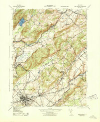
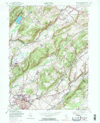
Historical Maps of Port Colden Through Time
3 maps found
Featured Locations
- Washington Township, NJ
- Hope Township, NJ
- Oxford Township, NJ
- Washington, NJ
- Port Murray, Mansfield Township