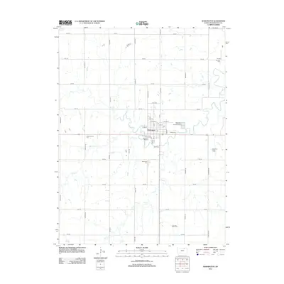
2012 Map of Washington
USGS Topo · Published 2012About this map
The city of Washington serves as the focal point of this Kansas landscape, centered at the intersection of a precise section-line road grid. The town's layout is well-defined by residential and commercial streets, including W College St and E 2nd St, with community landmarks such as the Po, Washington County Fairgrounds, and the Washington Speedway anchoring the local economy and social life. The surrounding agricultural land is drained by a network of waterways including Mill Cr, Camp Cr, and Ash Cr, which meander through the prairie terrain.
Find a feature on this map
47 named features on this map. Tap any name to fly to it.
Don’t see what you’re looking for? This feature index may not catch every label — zoom into the map to look around manually.
Map Details
Editions of this 2012 Washington Map
This is the sole edition of this map. No revisions or reprints were ever made.
Other maps of this area

1889 · Marysville
USGS Topo · 1:125,000

1893 · Washington
USGS Topo · 1:125,000

1894 · Marysville
USGS Topo · 1:125,000

1955 · Manhattan
USGS Topo · 1:250,000

1956 · Manhattan
USGS Topo · 1:250,000

1957 · Manhattan
USGS Topo · 1:250,000
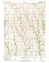
1966 · Washington NW
USGS Topo · 1:24,000

1966 · Morrowville
USGS Topo · 1:24,000

1966 · Washington
USGS Topo · 1:24,000

1966 · Hanover SW
USGS Topo · 1:24,000