
1966 Map of Morrowville
USGS Topo · Published 1967About this map
Morrowville serves as the primary hub of this 1960s Kansas landscape, positioned where the Chicago Burlington and Quincy railroad tracks bridge the wandering course of Mill Creek. The map documents a rural transition where traditional township lines like Coleman and Farmington intersect with the physical reality of the drainage basins for Buffalo Creek and Peet Creek. Local history is anchored by several distinct burial sites including Hickory Grove Cem and the Friends Cem near Enosdale, indicating early settlement patterns and community centers that persisted into the mid-20th century.
Find a feature on this map
19 named features on this map. Tap any name to fly to it.
Don’t see what you’re looking for? This feature index may not catch every label — zoom into the map to look around manually.
Map Details
Editions of this 1966 Morrowville Map
This is the sole edition of this map. No revisions or reprints were ever made.
Other maps of this area

1893 · Washington
USGS Topo · 1:125,000

1955 · Manhattan
USGS Topo · 1:250,000

1956 · Manhattan
USGS Topo · 1:250,000

1957 · Manhattan
USGS Topo · 1:250,000

1965 · Brantford
USGS Topo · 1:24,000
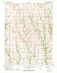
1966 · Washington NW
USGS Topo · 1:24,000

1966 · Washington
USGS Topo · 1:24,000
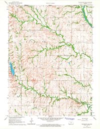
1966 · Washington NE
USGS Topo · 1:24,000
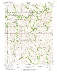
1966 · Haddam
USGS Topo · 1:24,000
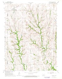
1966 · Mahaska
USGS Topo · 1:24,000