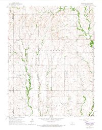
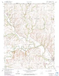
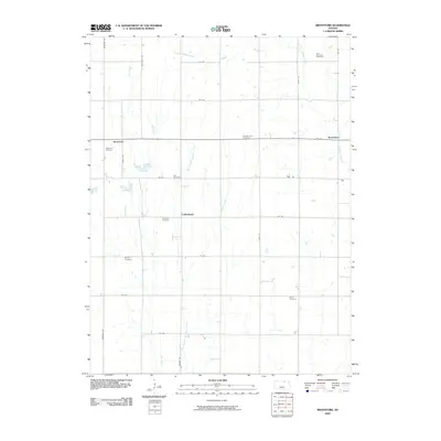
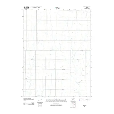
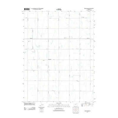
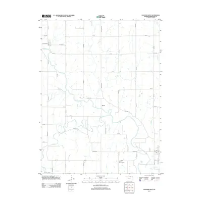
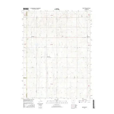
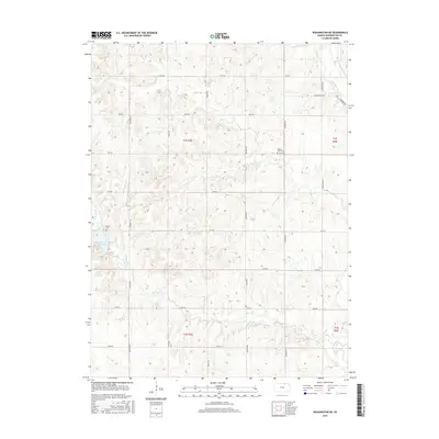
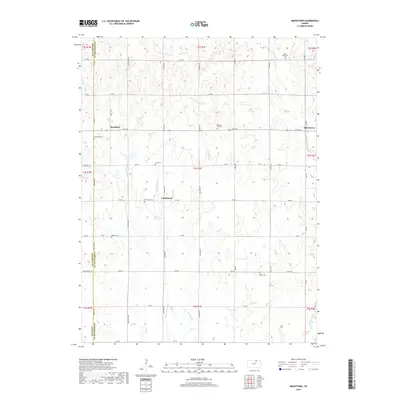
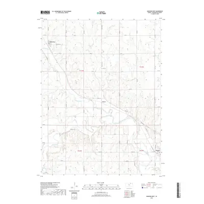
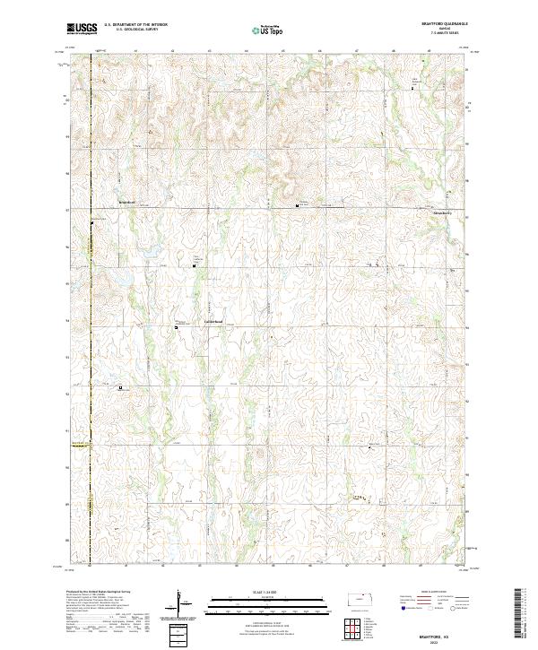
1965 Map of Brantford
USGS Topo · Published 1966About this map
Elk Creek and Scribner Creek wind through this central Kansas landscape where the borders of Washington, Republic, and Cloud Counties meet. The mid-1960s geography is defined by a dense network of spiritual and civic centers, illustrating the established rural community life of the era. Smaller settlements like Brantford and Strawberry serve as anchors in a region where local heritage is preserved in numerous denominational sites, including St Bernards Ch, Zion Ch, and the Covenant Ch. The map provides significant genealogical value, documenting numerous burial grounds such as St Bernards Cem, Baptist Cem, and Rusco Cem. Land use is primarily agricultural, punctuated by local infrastructure like a Gravel Pit and the prominent rising terrain of Pleasant Hill, showcasing the rural character of the Grant and Clifton townships during this period of the mid-20th century.
Find a feature on this map
26 named features on this map. Tap any name to fly to it.
Don’t see what you’re looking for? This feature index may not catch every label — zoom into the map to look around manually.
Map Details
Editions of this 1965 Brantford Map
This is the sole edition of this map. No revisions or reprints were ever made.
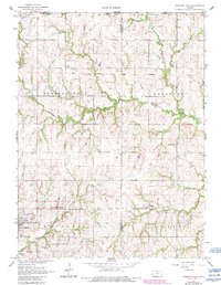
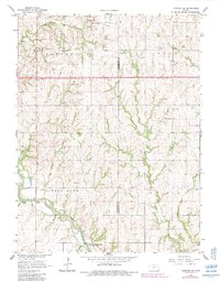
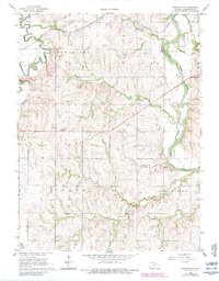
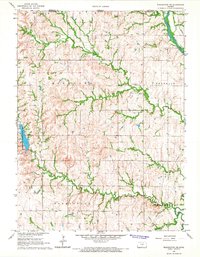
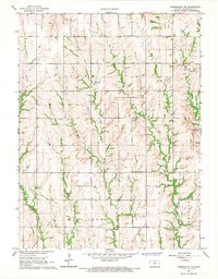
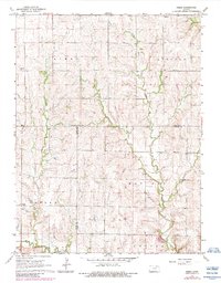
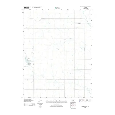
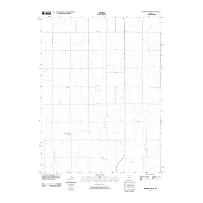
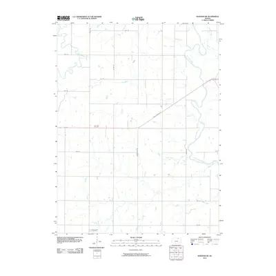
Historical Maps of Brantford Through Time
48 maps found
1965 Brantford
Washington County, KS
1966 Hanover East
Washington County, KS
1966 Hanover SE
Washington County, KS
1966 Hanover SW
Washington County, KS
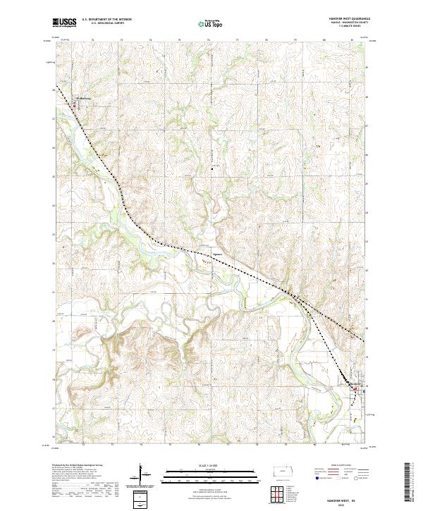
1966 Hanover West
Washington County, KS
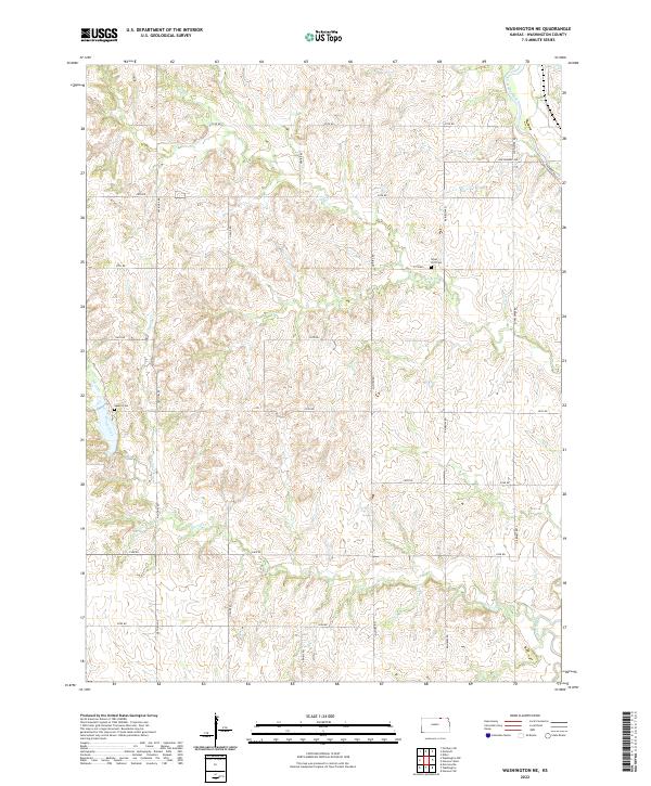
1966 Washington NE
Washington County, KS
1966 Washington NW
Washington County, KS
1968 Kimeo
Washington County, KS
2009 Brantford
Washington County, KS
2009 Hanover East
Washington County, KS
2009 Hanover SE
Washington County, KS
2009 Hanover West
Washington County, KS
2009 Kimeo
Washington County, KS
2009 Washington NE
Washington County, KS
2009 Washington NW
Washington County, KS
2010 Hanover SW
Washington County, KS
2012 Brantford
Washington County, KS
2012 Hanover East
Washington County, KS
2012 Hanover SE
Washington County, KS
2012 Hanover SW
Washington County, KS
2012 Hanover West
Washington County, KS
2012 Kimeo
Washington County, KS
2012 Washington NE
Washington County, KS
2012 Washington NW
Washington County, KS
2015 Brantford
Washington County, KS
2015 Hanover SW
Washington County, KS
2015 Hanover West
Washington County, KS
2015 Kimeo
Washington County, KS
2015 Washington NE
Washington County, KS
2015 Washington NW
Washington County, KS
2016 Hanover East
Washington County, KS
2016 Hanover SE
Washington County, KS
2018 Brantford
Washington County, KS
2018 Hanover East
Washington County, KS
2018 Hanover SE
Washington County, KS
2018 Hanover SW
Washington County, KS
2018 Hanover West
Washington County, KS
2018 Kimeo
Washington County, KS
2018 Washington NE
Washington County, KS
2018 Washington NW
Washington County, KS
2022 Brantford
Washington County, KS
2022 Hanover East
Washington County, KS
2022 Hanover SE
Washington County, KS
2022 Hanover SW
Washington County, KS
2022 Hanover West
Washington County, KS
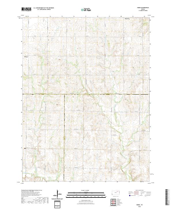
2022 Kimeo
Washington County, KS
2022 Washington NE
Washington County, KS

2022 Washington NW
Washington County, KS