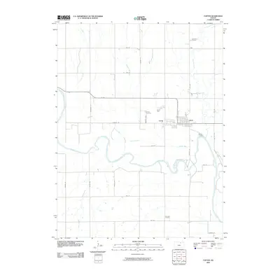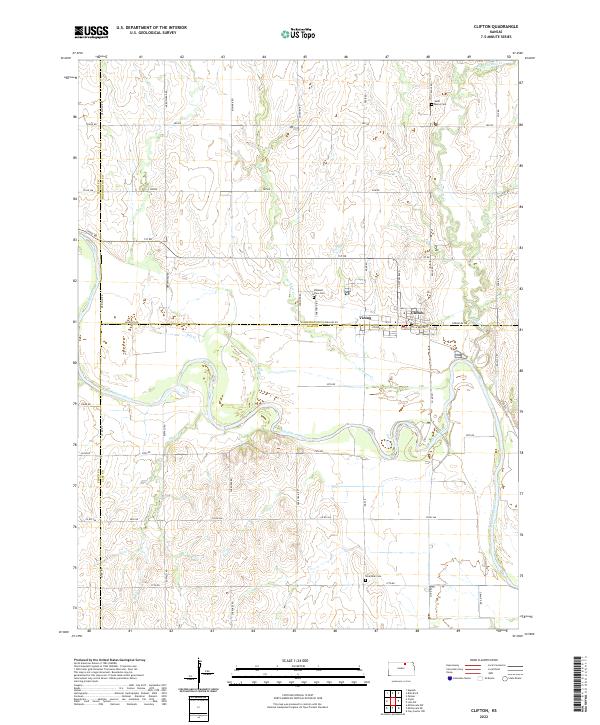
1965 Map of Clifton
USGS Topo · Published 1966About this map
The Republican River meanders sharply across this mid-1960s landscape, defining the intersection of Washington, Clay, and Cloud counties. The twin settlements of Clifton and Vining straddle the county line, anchored by the infrastructure of the Chicago Rock Island and Pacific railroad. The importance of the river system is evident in its numerous tributaries, including Dry Creek, Scribner Creek, and Parsons Creek, which carve through the agricultural townships of Clifton, Mulberry, and Shirley.
Find a feature on this map
24 named features on this map. Tap any name to fly to it.
Don’t see what you’re looking for? This feature index may not catch every label — zoom into the map to look around manually.
Map Details
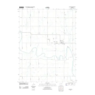
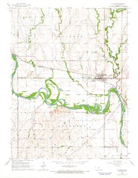
Editions of this 1965 Clifton Map
This is the sole edition of this map. No revisions or reprints were ever made.
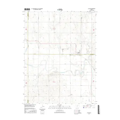
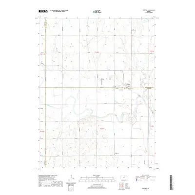
Historical Maps of Clifton Through Time
6 maps found