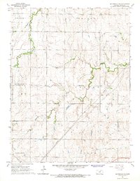
1965 Map of Miltonvale NW
USGS Topo · Published 1966About this map
Mulberry Creek winds through this rural section of Cloud County, defining the drainage patterns across the townships of Aurora, Colfax, and Shirley. The landscape is primarily agricultural, punctuated by essential community landmarks such as Sulphur Springs Ch and Carmel Sch. These locations serve as key indicators of the mid-20th-century social fabric in this region, where small schools and country churches anchored the scattered farming population. The topography also reveals industrial traces like the Gravel Pit and several Pipelines cutting across the terrain, reflecting the modernization of local infrastructure. To the north and west, East Branch Elm Creek provides additional relief to the rolling prairie, marking the boundaries for Nelson and Starr townships.
Find a feature on this map
12 named features on this map. Tap any name to fly to it.
Don’t see what you’re looking for? This feature index may not catch every label — zoom into the map to look around manually.
Map Details
Editions of this 1965 Miltonvale NW Map
This is the sole edition of this map. No revisions or reprints were ever made.
Other maps of this area

1891 · Clay Center
USGS Topo · 1:125,000

1892 · Concordia
USGS Topo · 1:125,000

1892 · Minneapolis
USGS Topo · 1:125,000

1893 · Washington
USGS Topo · 1:125,000

1955 · Manhattan
USGS Topo · 1:250,000

1956 · Manhattan
USGS Topo · 1:250,000

1957 · Manhattan
USGS Topo · 1:250,000

1964 · Lamar
USGS Topo · 1:24,000

1964 · Idana
USGS Topo · 1:24,000

1964 · Miltonvale
USGS Topo · 1:24,000