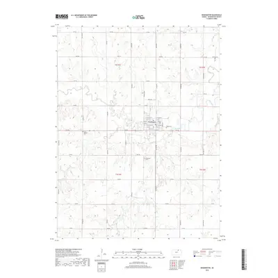
2018 Map of Washington
USGS Topo · Published 2018About this map
Washington serves as the central hub of this Kansas landscape, where a grid of residential streets like W College St and E 2nd St meets the surrounding agricultural expanse. The town is situated near the confluence of Plum Cr and Mill Creek, which wind through the northern and eastern sections of the quadrangle. Several small rural burial grounds, including Washington Cem and Mount Pleasant Cem, are scattered across the township, providing valuable touchpoints for genealogical research. The terrain is further defined by a network of drainage features like Ash Cr and the notable Mormon Spring in the southern portion of the survey area. This 2018 data illustrates the enduring section-line road system, with routes such as National Rd and Sunflower Rd framing the traditional homestead plots and field boundaries of Washington County.
Find a feature on this map
52 named features on this map. Tap any name to fly to it.
Don’t see what you’re looking for? This feature index may not catch every label — zoom into the map to look around manually.
Map Details
Editions of this 2018 Washington Map
This is the sole edition of this map. No revisions or reprints were ever made.
Other maps of this area

1889 · Marysville
USGS Topo · 1:125,000

1893 · Washington
USGS Topo · 1:125,000

1894 · Marysville
USGS Topo · 1:125,000

1955 · Manhattan
USGS Topo · 1:250,000

1956 · Manhattan
USGS Topo · 1:250,000

1957 · Manhattan
USGS Topo · 1:250,000
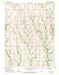
1966 · Washington NW
USGS Topo · 1:24,000

1966 · Morrowville
USGS Topo · 1:24,000

1966 · Washington
USGS Topo · 1:24,000

1966 · Hanover SW
USGS Topo · 1:24,000