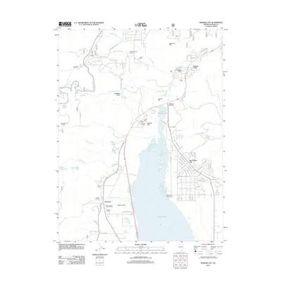
2012 Map of Washoe City
USGS Topo · Published 2012About this map
Washoe Valley and its high-desert water systems dominate this study of northern Nevada, where modern residential development in New Washoe City sits alongside a deep industrial and ranching legacy. The landscape between the Steamboat Hills and the massive Washoe Lake is marked by early processing sites like the Washoe Valley Reduction Works and several historic milling operations, including Buckeye Mill, Napa Mill, and the New York Mill. These features, along with the Bowers Mansion Hot Spring, reflect an era when the region's mineral wealth and thermal springs drove settlement. Local history is further preserved at Franktown, where the Franktown Cemetery remains near the Steen Ranch. The terrain transitions from the shoreline of Little Washoe Lake toward the peaks near the Slide Mountain Ski Area, connected by a network of drainage systems like Galena Creek and Ophir Creek.
Find a feature on this map
96 named features on this map. Tap any name to fly to it.
Don’t see what you’re looking for? This feature index may not catch every label — zoom into the map to look around manually.
Map Details
Editions of this 2012 Washoe City Map
This is the sole edition of this map. No revisions or reprints were ever made.
Other maps of this area

1891 · Carson
USGS Topo · 1:125,000

1893 · Carson
USGS Topo · 1:125,000

1950 · Virginia City
USGS Topo · 1:62,500

1950 · Mt. Rose
USGS Topo · 1:62,500

1952 · Mt. Rose
USGS Topo · 1:62,500

1952 · Virginia City
USGS Topo · 1:62,500

1955 · Marlette Lake
USGS Topo · 1:24,000

1956 · Dayton
USGS Topo · 1:62,500

1956 · Carson City
USGS Topo · 1:62,500

1957 · Reno
USGS Topo · 1:250,000