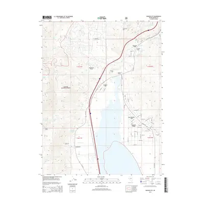
2014 Map of Washoe City
USGS Topo · Published 2014About this map
Washoe Valley and the surrounding eastern slopes of the Sierra Nevada define this 2014 geographic study. The settlement pattern shows the modern expansion of New Washoe City contrasted against the smaller, established sites of Washoe City and Franktown. Along the western edge, the Toiyabe National Forest covers high-elevation terrain featuring Rock Lake and Lower Price Lake.
Find a feature on this map
69 named features on this map. Tap any name to fly to it.
Don’t see what you’re looking for? This feature index may not catch every label — zoom into the map to look around manually.
Map Details
Editions of this 2014 Washoe City Map
This is the sole edition of this map. No revisions or reprints were ever made.
Other maps of this area

1891 · Carson
USGS Topo · 1:125,000

1893 · Carson
USGS Topo · 1:125,000

1950 · Virginia City
USGS Topo · 1:62,500

1950 · Mt. Rose
USGS Topo · 1:62,500

1952 · Mt. Rose
USGS Topo · 1:62,500

1952 · Virginia City
USGS Topo · 1:62,500

1955 · Marlette Lake
USGS Topo · 1:24,000

1956 · Dayton
USGS Topo · 1:62,500

1956 · Carson City
USGS Topo · 1:62,500

1957 · Reno
USGS Topo · 1:250,000