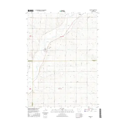
2015 Map of Washta
USGS Topo · Published 2015About this map
The Little Sioux River carves a winding path through this western Iowa landscape, serving as the primary drainage for several smaller tributaries including Rock Cr, Stratton Cr, and Ashton Cr. The small community of Washta is situated along the riverbanks, while the town of Quimby anchors the northern portion of the map. This area is characterized by a high density of rural infrastructure, with a grid of section-line roads like 650th St and Co Hwy L43 connecting the farming homesteads of Cherokee, Woodbury, and Ida counties.
Find a feature on this map
45 named features on this map. Tap any name to fly to it.
Don’t see what you’re looking for? This feature index may not catch every label — zoom into the map to look around manually.
Map Details
Editions of this 2015 Washta Map
This is the sole edition of this map. No revisions or reprints were ever made.
Other maps of this area

1954 · Fort Dodge
USGS Topo · 1:250,000

1957 · Fort Dodge
USGS Topo · 1:250,000

1958 · Fort Dodge
USGS Topo · 1:250,000

1967 · Holstein
USGS Topo · 1:24,000

1969 · Pierson
USGS Topo · 1:24,000

1969 · Fielding
USGS Topo · 1:24,000

1969 · Correctionville
USGS Topo · 1:24,000

1969 · Cherokee South
USGS Topo · 1:24,000

1969 · Cushing
USGS Topo · 1:24,000

1969 · Quimby SE
USGS Topo · 1:24,000