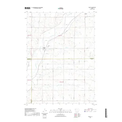
2022 Map of Washta
USGS Topo · Published 2022About this map
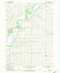
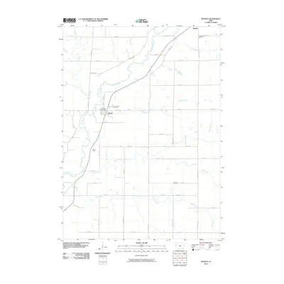
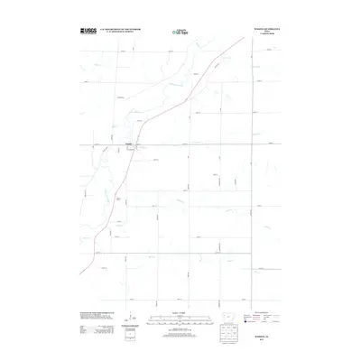
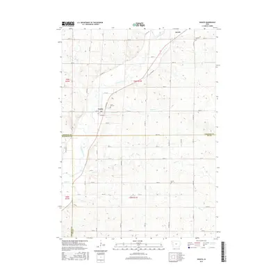
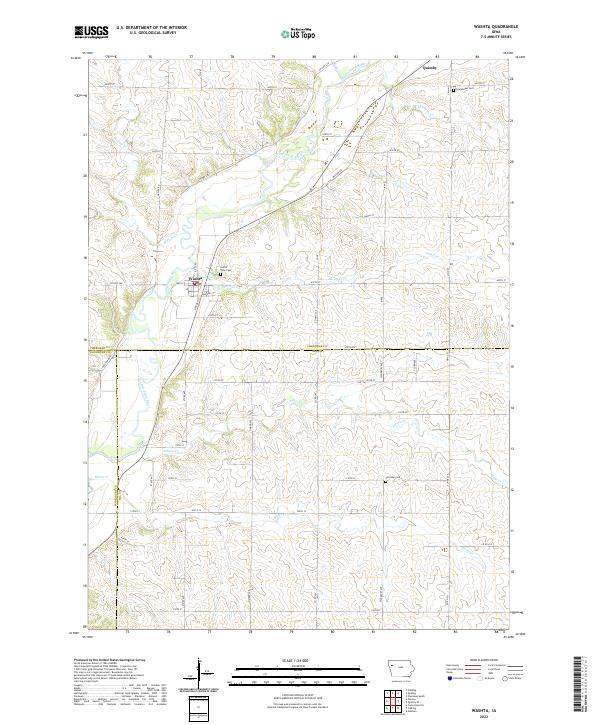
The Little Sioux River meanders south through this corner of Northwest Iowa, defining the valley that connects the settlements of Quimby and Washta. This modern survey reveals a landscape deeply divided by the section lines of the Public Land Survey System, with a grid of rural routes like Co Hwy L56 and 120th St serving the agricultural uplands. The drainage pattern is exceptionally detailed, showing numerous tributaries including Willow Creek, Stratton Creek, and Bitter Creek as they flow toward the main river channel.
Find a feature on this map
40 named features on this map. Tap any name to fly to it.
Don’t see what you’re looking for? This feature index may not catch every label — zoom into the map to look around manually.
Map Details
Editions of this 2022 Washta Map
This is the sole edition of this map. No revisions or reprints were ever made.
Historical Maps of Quimby Through Time
6 maps found