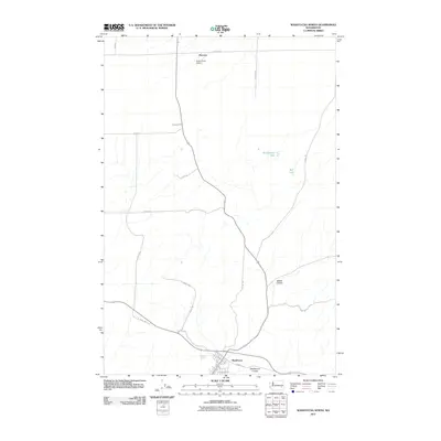
2011 Map of Washtucna North
USGS Topo · Published 2011About this map
Washtucna sits at the southern edge of this landscape, positioned where the geological carving of Washtucna Coulee meets a network of local transit. The area is characterized by the distinct coulee formations of the Channeled Scablands, including Staley Coulee, which cut through the agricultural high ground of Adams County. To the north, the small settlement of Fletcher and the Kinch Farms Airport serve the surrounding farmland, which is partitioned by a grid of rural roads such as S Benzel Rd and S Haase Rd. Ephemeral water features like Rattlesnake Lake and Bell Lake appear in the depressions of the coulees, while Bassett Spring provides a rare point of reliable water near the town center. The map documents a rural Washington crossroads defined by its unique post-glacial topography and established family farming operations.
Find a feature on this map
25 named features on this map. Tap any name to fly to it.
Don’t see what you’re looking for? This feature index may not catch every label — zoom into the map to look around manually.
Map Details
Editions of this 2011 Washtucna North Map
This is the sole edition of this map. No revisions or reprints were ever made.
Other maps of this area

1923 · Washtucna
USGS Topo · 1:62,500

1925 · Washtucna
USGS Topo · 1:62,500

1948 · Starbuck
USGS Topo · 1:62,500

1948 · Ayer
USGS Topo · 1:62,500

1950 · Starbuck
USGS Topo · 1:62,500

1950 · Haas
USGS Topo · 1:62,500

1950 · Benge
USGS Topo · 1:62,500

1952 · Benge
USGS Topo · 1:62,500

1953 · Walla Walla
USGS Topo · 1:250,000

1958 · Walla Walla
USGS Topo · 1:250,000