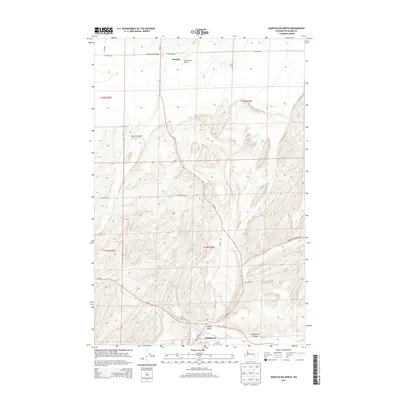
2013 Map of Washtucna North
USGS Topo · Published 2013About this map
Washtucna anchors the southern portion of this landscape, situated at the confluence of several significant geographical depressions typical of the Channeled Scablands. The topography is defined by deep cuts like Washtucna Coulee and Staley Coulee, which speak to the area's glacial flood history. To the north, Fletcher sits near the open expanse of Rattlesnake Flat, where the Kinch Farms Airport serves the local agricultural community. Small water bodies such as Rattlesnake Lake and Bell Lake provide distinct landmarks amidst the complex network of draws and ridges. Transport across this high desert region is facilitated by Wa-26 and Wa-261, which intersect near the town site. The map effectively illustrates the transition from the broad flats in the north to the rugged, channeled terrain of the coulees surrounding the central settlement.
Find a feature on this map
28 named features on this map. Tap any name to fly to it.
Don’t see what you’re looking for? This feature index may not catch every label — zoom into the map to look around manually.
Map Details
Editions of this 2013 Washtucna North Map
This is the sole edition of this map. No revisions or reprints were ever made.
Other maps of this area

1923 · Washtucna
USGS Topo · 1:62,500

1925 · Washtucna
USGS Topo · 1:62,500

1948 · Starbuck
USGS Topo · 1:62,500

1948 · Ayer
USGS Topo · 1:62,500

1950 · Starbuck
USGS Topo · 1:62,500

1950 · Haas
USGS Topo · 1:62,500

1950 · Benge
USGS Topo · 1:62,500

1952 · Benge
USGS Topo · 1:62,500

1953 · Walla Walla
USGS Topo · 1:250,000

1958 · Walla Walla
USGS Topo · 1:250,000