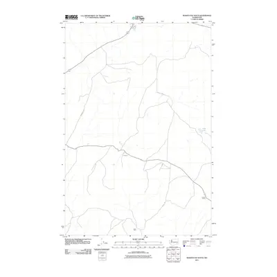
2011 Map of Washtucna South
USGS Topo · Published 2011About this map
Deep Lake sits within a sparse, high-desert landscape in Adams County, defined by long-established agricultural outposts and gravel roads. This 2011 survey illustrates the rural infrastructure of the region, where large landholdings like the H U Ranch and Howard Ranch serve as primary landmarks in a territory with few concentrated settlements. The transport network is anchored by corridors such as Nunamaker Rd and Davin Rd, which connect the isolated Davin Ranch to the broader Palouse region. The map captures the enduring character of eastern Washington's ranching economy, showing how modern land management continues to utilize the same remote coulees and drainages that have supported livestock for generations.
Find a feature on this map
6 named features on this map. Tap any name to fly to it.
Don’t see what you’re looking for? This feature index may not catch every label — zoom into the map to look around manually.
Map Details
Editions of this 2011 Washtucna South Map
This is the sole edition of this map. No revisions or reprints were ever made.
Other maps of this area

1923 · Washtucna
USGS Topo · 1:62,500

1925 · Washtucna
USGS Topo · 1:62,500

1948 · Starbuck
USGS Topo · 1:62,500

1948 · Ayer
USGS Topo · 1:62,500

1950 · Starbuck
USGS Topo · 1:62,500

1950 · Haas
USGS Topo · 1:62,500

1950 · Benge
USGS Topo · 1:62,500

1952 · Benge
USGS Topo · 1:62,500

1953 · Walla Walla
USGS Topo · 1:250,000

1958 · Walla Walla
USGS Topo · 1:250,000