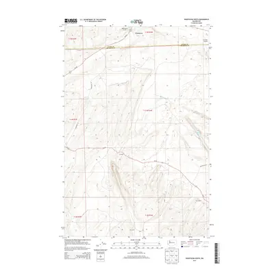
2014 Map of Washtucna South
USGS Topo · Published 2014About this map
The town of Washtucna sits at the northern edge of this quadrangle, where the massive geological trench of the Washtucna Coulee dominates the local topography. This arid region of southeastern Washington, spanning the boundary of Adams and Franklin Counties, is characterized by the complex channelled scablands. Local life is anchored by family-held agricultural operations such as the H U Ranch, Davin Ranch, and Howard Ranch, which utilize the flat valley floors of the coulees between steep basalt walls.
Find a feature on this map
20 named features on this map. Tap any name to fly to it.
Don’t see what you’re looking for? This feature index may not catch every label — zoom into the map to look around manually.
Map Details
Editions of this 2014 Washtucna South Map
This is the sole edition of this map. No revisions or reprints were ever made.
Other maps of this area

1923 · Washtucna
USGS Topo · 1:62,500

1925 · Washtucna
USGS Topo · 1:62,500

1948 · Starbuck
USGS Topo · 1:62,500

1948 · Ayer
USGS Topo · 1:62,500

1950 · Starbuck
USGS Topo · 1:62,500

1950 · Haas
USGS Topo · 1:62,500

1950 · Benge
USGS Topo · 1:62,500

1952 · Benge
USGS Topo · 1:62,500

1953 · Walla Walla
USGS Topo · 1:250,000

1958 · Walla Walla
USGS Topo · 1:250,000