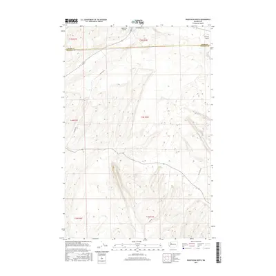
2017 Map of Washtucna South
USGS Topo · Published 2017About this map
The town of Washtucna sits at the northern edge of this landscape, where the basalt-carved depressions of the Channeled Scablands dictate the local geography. The map documents the dramatic transition from the plateau down toward the Snake River drainage, marked by the deep scars of Washtucna Coulee and Holliday Coulee. These ancient glacial flood pathways now serve as natural corridors for modern infrastructure and agriculture. To the southeast, the terrain descends toward Little Palouse Falls and the isolated waters of Deep Lake, illustrating the unique hydrology of the Palouse region. Rural life is anchored by a network of gravel and paved roads like Nunamaker Rd and Palouse Falls Rd, which follow the contours of the land across the Adams and Franklin County line.
Find a feature on this map
18 named features on this map. Tap any name to fly to it.
Don’t see what you’re looking for? This feature index may not catch every label — zoom into the map to look around manually.
Map Details
Editions of this 2017 Washtucna South Map
This is the sole edition of this map. No revisions or reprints were ever made.
Other maps of this area

1923 · Washtucna
USGS Topo · 1:62,500

1925 · Washtucna
USGS Topo · 1:62,500

1948 · Starbuck
USGS Topo · 1:62,500

1948 · Ayer
USGS Topo · 1:62,500

1950 · Starbuck
USGS Topo · 1:62,500

1950 · Haas
USGS Topo · 1:62,500

1950 · Benge
USGS Topo · 1:62,500

1952 · Benge
USGS Topo · 1:62,500

1953 · Walla Walla
USGS Topo · 1:250,000

1958 · Walla Walla
USGS Topo · 1:250,000