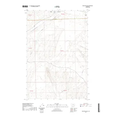
2020 Map of Washtucna South
USGS Topo · Published 2020About this map
Washtucna sits at the northern edge of this desert landscape, where the town's grid meets the dramatic geology of the Washtucna Coulee. This area is characterized by the ancient, carved pathways of the Scablands, including the smaller Holliday Coulee and the secluded Deep Lake to the southeast. The map reveals a transition from the structured township of Washtucna into the open expanses of the Palouse, bisected by the Adams and Franklin county line. The presence of the Columbia-Plateau State Park Trail highlights the reuse of former rail corridors, winding through the terrain alongside local routes like Nunamaker Rd and Palouse Falls Rd. This survey documents the intersection of rural agriculture and geological formations in eastern Washington, tracing the roads and trails that navigate the high plateaus and deep coulees.
Find a feature on this map
19 named features on this map. Tap any name to fly to it.
Don’t see what you’re looking for? This feature index may not catch every label — zoom into the map to look around manually.
Map Details
Editions of this 2020 Washtucna South Map
This is the sole edition of this map. No revisions or reprints were ever made.
Other maps of this area

1923 · Washtucna
USGS Topo · 1:62,500

1925 · Washtucna
USGS Topo · 1:62,500

1948 · Starbuck
USGS Topo · 1:62,500

1948 · Ayer
USGS Topo · 1:62,500

1950 · Starbuck
USGS Topo · 1:62,500

1950 · Haas
USGS Topo · 1:62,500

1950 · Benge
USGS Topo · 1:62,500

1952 · Benge
USGS Topo · 1:62,500

1953 · Walla Walla
USGS Topo · 1:250,000

1958 · Walla Walla
USGS Topo · 1:250,000