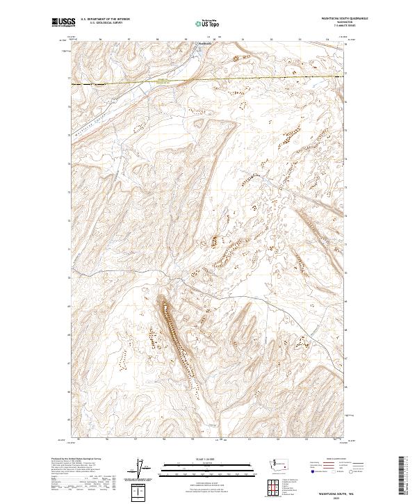
2023 Map of Washtucna South
USGS Topo · Published 2023About this map
Washtucna sits at the northern edge of this high desert landscape, serving as a gateway to the dramatic geography of the Washtucna Coulee. This ancient drainage channel, carved by prehistoric floods, dominates the terrain and now hosts the Columbia Plateau State Park Trl, a long-distance recreational route following an old rail corridor. The topography is defined by the sharp contrast between the flat coulee floor and the surrounding channeled scablands. Local transport is represented by a network of rural routes including Nunamaker Rd, Davin Rd, and Palouse Falls Rd, which provide access to the dry draws and uplands. To the southeast, the small basin of Deep Lake breaks the arid surface, marking one of the few permanent water features in this portion of the Palouse region.
Find a feature on this map
10 named features on this map. Tap any name to fly to it.
Don’t see what you’re looking for? This feature index may not catch every label — zoom into the map to look around manually.
Map Details
Editions of this 2023 Washtucna South Map
This is the sole edition of this map. No revisions or reprints were ever made.
Other maps of this area

1923 · Washtucna
USGS Topo · 1:62,500

1925 · Washtucna
USGS Topo · 1:62,500

1948 · Starbuck
USGS Topo · 1:62,500

1948 · Ayer
USGS Topo · 1:62,500

1950 · Starbuck
USGS Topo · 1:62,500

1950 · Haas
USGS Topo · 1:62,500

1950 · Benge
USGS Topo · 1:62,500

1952 · Benge
USGS Topo · 1:62,500

1953 · Walla Walla
USGS Topo · 1:250,000

1958 · Walla Walla
USGS Topo · 1:250,000