2011 Map of Wassaw Sound OE S
USGS Topo · Published 2011About this map
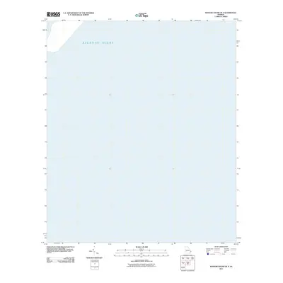
The Atlantic Ocean dominates this maritime survey off the Georgia coast, where the vast expanse of open water meets the barrier islands' tidal networks. In the northwestern corner, the Odingsell River emerges as a critical navigational channel through the coastal marshes. This 2011 map documents the hydrography of a dynamic environment where the river's flow interacts with the oceanic tides. The lack of terrestrial development on this specific sheet highlights the ecological focus of the coastal survey, preserving the state of the waterways and the natural boundary between the river and the sea during the early twenty-first century.
Find a feature on this map
2 named features on this map. Tap any name to fly to it.
Don’t see what you’re looking for? This feature index may not catch every label — zoom into the map to look around manually.
Map Details
Editions of this 2011 Wassaw Sound OE S Map
This is the sole edition of this map. No revisions or reprints were ever made.
Other maps of this area

1920 · Wassaw Sound
USGS Topo · 1:62,500

1928 · St Catherines Island
USGS Topo · 1:62,500

1943 · St Catherines Island
USGS Topo · 1:62,500

1944 · Ossabaw Island
USGS Topo · 1:62,500

1945 · St. Catherine's Island
USGS Topo · 1:62,500

1945 · Ossabaw Island
USGS Topo · 1:62,500

1945 · Wassaw Sound
USGS Topo · 1:62,500

1946 · Brunswick
USGS Topo · 1:250,000

1948 · Brunswick
USGS Topo · 1:250,000

1956 · Brunswick
USGS Topo · 1:250,000