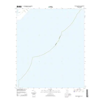
2014 Map of Wassaw Sound OE S
USGS Topo · Published 2014About this map
The Odingsell River defines the upper-left corner of this coastal maritime landscape in Chatham County. Primarily an aquatic study of the shoreline waters, the map reveals a small network of access paths on the limited dry land available. Local infrastructure is minimal, consisting of Main Road and specific routes like First Fire Trail and Pavilion Trail. These labels suggest a managed or recreational environment where land meets the expansive tidal waters of the Atlantic coast.
Find a feature on this map
5 named features on this map. Tap any name to fly to it.
Don’t see what you’re looking for? This feature index may not catch every label — zoom into the map to look around manually.
Map Details
Editions of this 2014 Wassaw Sound OE S Map
This is the sole edition of this map. No revisions or reprints were ever made.
Other maps of this area

1920 · Wassaw Sound
USGS Topo · 1:62,500

1928 · St Catherines Island
USGS Topo · 1:62,500

1943 · St Catherines Island
USGS Topo · 1:62,500

1944 · Ossabaw Island
USGS Topo · 1:62,500

1945 · St. Catherine's Island
USGS Topo · 1:62,500

1945 · Ossabaw Island
USGS Topo · 1:62,500

1945 · Wassaw Sound
USGS Topo · 1:62,500

1946 · Brunswick
USGS Topo · 1:250,000

1948 · Brunswick
USGS Topo · 1:250,000

1956 · Brunswick
USGS Topo · 1:250,000