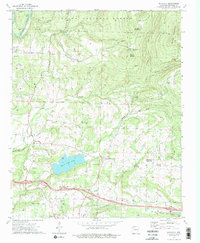
1973 Map of Watalula
USGS Topo · Published 1976About this map
The Ozark National Forest dominates the northern reaches of this terrain, where steep ridges like Douglas Mountain and Mount Ephraim overlook the winding Mulberry River. In the early 1970s, the landscape south of the forest shows a transition from high timberland to a network of rural communities and family cemeteries. Ozark City Lake serves as a central landmark, flanked by the Ozark Corporation Boundary and small settlements like Watalula and Sutherland Crossroads.
Find a feature on this map
54 named features on this map. Tap any name to fly to it.
Don’t see what you’re looking for? This feature index may not catch every label — zoom into the map to look around manually.
Map Details
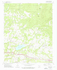
Editions of this 1973 Watalula Map
2 editions found
Other maps of this area

1879 · Cravens
USGS Topo · 1:62,500

1887 · Magazine Mountain #1
USGS Topo · 1:62,500

1887 · Magazine Mountain #2
USGS Topo · 1:62,500

1887 · Watalula
USGS Topo · 1:62,500

1887 · Magazine Mountain
USGS Topo · 1:62,500

1890 · Magazine Mountain
USGS Topo · 1:125,000

1906 · Batson
USGS Topo · 1:62,500

1939 · Watalula
USGS Topo · 1:62,500

1956 · Russellville
USGS Topo · 1:250,000

1961 · Coal Hill
USGS Topo · 1:24,000