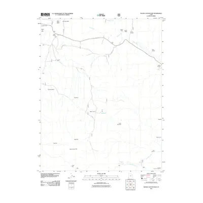
2011 Map of Water Canyon Peak
USGS Topo · Published 2011About this map
Water Canyon Peak stands as the dominant summit in this high-altitude landscape within Washington County. The terrain is defined by a series of prominent plateaus and drainage systems, including Pine Park Bench, Big Bench, and the expansive Wide Hollow. Water sources are critical markers in this arid environment, with named points such as Nephi Spring, Terry Spring, and Dads Spring providing vital geographic anchors alongside Shoal Creek.
Find a feature on this map
31 named features on this map. Tap any name to fly to it.
Don’t see what you’re looking for? This feature index may not catch every label — zoom into the map to look around manually.
Map Details
Editions of this 2011 Water Canyon Peak Map
This is the sole edition of this map. No revisions or reprints were ever made.
Other maps of this area

1885 · St. George
USGS Topo · 1:250,000

1885 · Pioche
USGS Topo · 1:250,000

1886 · Pioche
USGS Topo · 1:250,000

1891 · St. George
USGS Topo · 1:250,000

1953 · Cedar City
USGS Topo · 1:250,000

1954 · Caliente
USGS Topo · 1:250,000

1958 · Cedar City
USGS Topo · 1:250,000

1958 · Docs Pass
USGS Topo · 1:24,000

1959 · Caliente
USGS Topo · 1:250,000

1962 · Cedar City
USGS Topo · 1:250,000