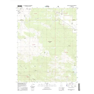
2017 Map of Water Canyon Peak
USGS Topo · Published 2017About this map
Dixie National Forest defines the eastern expanse of this Washington County survey, where the high desert terrain transitions into the peaks and ridges of the Great Basin. The landscape is marked by significant topographical landmarks such as Water Canyon Peak and the prominent Pine Park Bench. Early transportation routes, including Crestline Rd and Old Modena Rd, cross the northern sections, while a network of pathways like the Pine Canyon Trail and White Hollow Trail navigate the southern canyons.
Find a feature on this map
44 named features on this map. Tap any name to fly to it.
Don’t see what you’re looking for? This feature index may not catch every label — zoom into the map to look around manually.
Map Details
Editions of this 2017 Water Canyon Peak Map
This is the sole edition of this map. No revisions or reprints were ever made.
Other maps of this area

1885 · St. George
USGS Topo · 1:250,000

1885 · Pioche
USGS Topo · 1:250,000

1886 · Pioche
USGS Topo · 1:250,000

1891 · St. George
USGS Topo · 1:250,000

1953 · Cedar City
USGS Topo · 1:250,000

1954 · Caliente
USGS Topo · 1:250,000

1958 · Cedar City
USGS Topo · 1:250,000

1958 · Docs Pass
USGS Topo · 1:24,000

1959 · Caliente
USGS Topo · 1:250,000

1962 · Cedar City
USGS Topo · 1:250,000