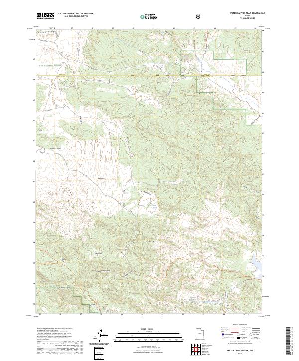
2023 Map of Water Canyon Peak
USGS Topo · Published 2023About this map
Dixie National Forest and the Cougar Canyon Wilderness dominate this high-altitude landscape along the border of Iron and Washington counties. The terrain is defined by a series of prominent benches and flats, including Pine Park Bench, Big Bench, and Colie Flat, which overlook a network of seasonal drainages and canyons. The geography is punctuated by significant peaks and passes, most notably Water Canyon Peak and West Pass, marking a divide between different watershed systems.
Find a feature on this map
34 named features on this map. Tap any name to fly to it.
Don’t see what you’re looking for? This feature index may not catch every label — zoom into the map to look around manually.
Map Details
Editions of this 2023 Water Canyon Peak Map
This is the sole edition of this map. No revisions or reprints were ever made.
Other maps of this area

1885 · St. George
USGS Topo · 1:250,000

1885 · Pioche
USGS Topo · 1:250,000

1886 · Pioche
USGS Topo · 1:250,000

1891 · St. George
USGS Topo · 1:250,000

1953 · Cedar City
USGS Topo · 1:250,000

1954 · Caliente
USGS Topo · 1:250,000

1958 · Cedar City
USGS Topo · 1:250,000

1958 · Docs Pass
USGS Topo · 1:24,000

1959 · Caliente
USGS Topo · 1:250,000

1962 · Cedar City
USGS Topo · 1:250,000