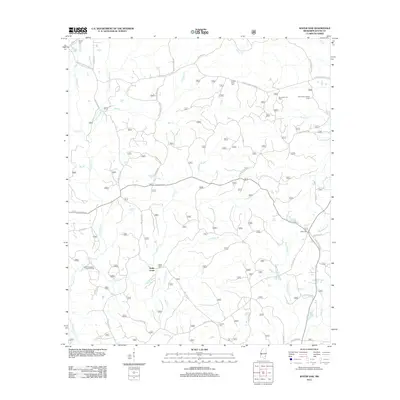
2012 Map of Water Oak
USGS Topo · Published 2012About this map
The timbered uplands and creek bottoms of Wayne County define this 2012 survey, where the settlement of Hollis Creek sits at the intersection of a dense network of forest and county roads. The landscape is marked by the presence of significant local cemeteries, including Hollis Creek Cem and Corinth Cem, which serve as vital landmarks for genealogists and family researchers. Industrial activity is concentrated in the West Clara Oil Field and the South Thompson Creek Oil Field, indicating the importance of resource extraction to the local economy.
Find a feature on this map
47 named features on this map. Tap any name to fly to it.
Don’t see what you’re looking for? This feature index may not catch every label — zoom into the map to look around manually.
Map Details
Editions of this 2012 Water Oak Map
This is the sole edition of this map. No revisions or reprints were ever made.
Other maps of this area

1953 · Hattiesburg
USGS Topo · 1:250,000

1958 · Hattiesburg
USGS Topo · 1:250,000

1964 · Rhodes
USGS Topo · 1:24,000

1964 · Myrick
USGS Topo · 1:24,000

1964 · Clara
USGS Topo · 1:24,000

1964 · Strengthford
USGS Topo · 1:24,000

1964 · Mulberry
USGS Topo · 1:24,000

1964 · Waynesboro
USGS Topo · 1:24,000

1964 · Whistler
USGS Topo · 1:24,000

1964 · Piave
USGS Topo · 1:24,000