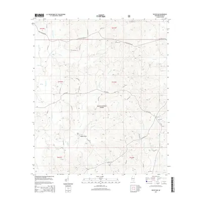
2015 Map of Water Oak
USGS Topo · Published 2015About this map
DeSoto National Forest lands dominate this portion of Wayne County, where the terrain is defined by a dense network of creek drainages including Thompson Cr and Piney Woods Cr. The settlement of Hollis Creek serves as a local focal point near the Hollis Creek Cem, while the namesake Water Oak sits to the east along Water Oak Rd. The landscape is a mix of protected forest and rural homesteads, connected by a web of family-named routes such as Betty Sanderson Rd and Nelson Shirley Rd. A significant degree of local history is preserved in these names, indicating long-standing family ties to the land. From the northern reach of Clara-Strengthford Rd down to the southern banks of Gunstock Br, the map captures the quiet, wooded character of this Mississippi backcountry.
Find a feature on this map
50 named features on this map. Tap any name to fly to it.
Don’t see what you’re looking for? This feature index may not catch every label — zoom into the map to look around manually.
Map Details
Editions of this 2015 Water Oak Map
This is the sole edition of this map. No revisions or reprints were ever made.
Other maps of this area

1953 · Hattiesburg
USGS Topo · 1:250,000

1958 · Hattiesburg
USGS Topo · 1:250,000

1964 · Rhodes
USGS Topo · 1:24,000

1964 · Myrick
USGS Topo · 1:24,000

1964 · Clara
USGS Topo · 1:24,000

1964 · Strengthford
USGS Topo · 1:24,000

1964 · Mulberry
USGS Topo · 1:24,000

1964 · Waynesboro
USGS Topo · 1:24,000

1964 · Whistler
USGS Topo · 1:24,000

1964 · Piave
USGS Topo · 1:24,000