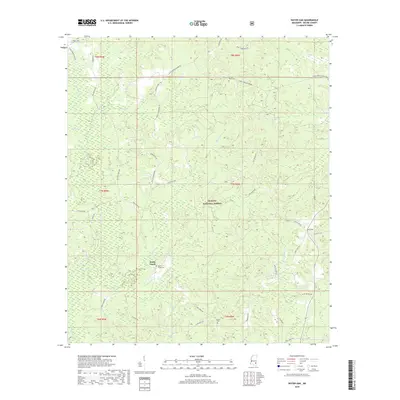
2018 Map of Water Oak
USGS Topo · Published 2018About this map
De Soto National Forest lands dominate this portion of Wayne County, where the terrain is intricately carved by an extensive drainage system. Small rural settlements like Hollis Creek and Water Oak are connected by a network of named roads, many reflecting local family lineages such as William Cooley Dr, Betty Sanderson Rd, and Nelson Shirley Rd. This pattern of land use indicates a community where forestry and private holdings exist alongside established ancestral sites.
Find a feature on this map
47 named features on this map. Tap any name to fly to it.
Don’t see what you’re looking for? This feature index may not catch every label — zoom into the map to look around manually.
Map Details
Editions of this 2018 Water Oak Map
This is the sole edition of this map. No revisions or reprints were ever made.
Other maps of this area

1953 · Hattiesburg
USGS Topo · 1:250,000

1958 · Hattiesburg
USGS Topo · 1:250,000

1964 · Rhodes
USGS Topo · 1:24,000

1964 · Myrick
USGS Topo · 1:24,000

1964 · Clara
USGS Topo · 1:24,000

1964 · Strengthford
USGS Topo · 1:24,000

1964 · Mulberry
USGS Topo · 1:24,000

1964 · Waynesboro
USGS Topo · 1:24,000

1964 · Whistler
USGS Topo · 1:24,000

1964 · Piave
USGS Topo · 1:24,000