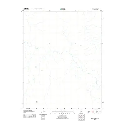
2011 Map of Water Pockets
USGS Topo · Published 2011About this map
The Paria River carves a sinuous path across this high-desert landscape in Coconino County, serving as the primary drainage for the surrounding terrain. This remote area is defined by its topographic extremes and scarce water sources, where man-made improvements like the Bush Head Tank provide vital points of collection in an otherwise arid environment. High points such as Bush Head and the stretching expanse of Horse Ridge overlook a complex network of dry washes and intermittent streams. The naming of the Water Pockets area suggests a landscape where geologic depressions occasionally hold seasonal rainfall, a critical resource for travelers and livestock in this portion of northern Arizona. The absence of roads or permanent settlements highlights the isolation of this river corridor in the early twenty-first century.
Find a feature on this map
5 named features on this map. Tap any name to fly to it.
Don’t see what you’re looking for? This feature index may not catch every label — zoom into the map to look around manually.
Map Details
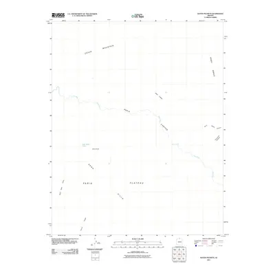
Editions of this 2011 Water Pockets Map
2 editions found
Other maps of this area

1886 · Escalante
USGS Topo · 1:250,000

1886 · Echo Cliffs
USGS Topo · 1:250,000

1891 · Echo Cliffs
USGS Topo · 1:250,000

1951 · Lees Ferry NE
USGS Topo · 1:24,000

1953 · Nipple Butte
USGS Topo · 1:62,500

1954 · Lees Ferry NW
USGS Topo · 1:24,000

1954 · Paria Plateau SE
USGS Topo · 1:24,000

1954 · Lees Ferry SE
USGS Topo · 1:24,000

1954 · Lees Ferry SW
USGS Topo · 1:24,000

1954 · Lees Ferry
USGS Topo · 1:62,500