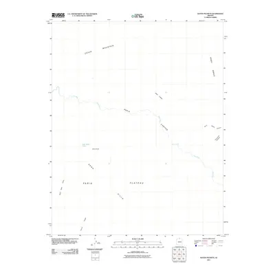
2011 Map of Water Pockets
USGS Topo · Published 2011About this map
The Paria River carves a deep path through northern Arizona, defining the landscape of the Paria Canyon as it winds toward the Colorado. This 2011 survey captures a remote section of Coconino County where water and topography dictate the naming of features, from the natural catchment of the Water Pockets to the Bush Head Tank. The terrain is characterized by the massive Paria Plateau and the high elevation of Cedar Mountain, which overlooks the Sand Hills and Bush Head Valley. The map records landmarks significant to those navigating the high desert, such as the Horse Ridge and the distinctively named Thousand Pockets. Evidence of early travel and geographic significance is found in the naming of Ferry Swale and its adjacent Ferry Swale Canyon, suggesting the historical importance of these routes through the arid canyon country.
Find a feature on this map
13 named features on this map. Tap any name to fly to it.
Don’t see what you’re looking for? This feature index may not catch every label — zoom into the map to look around manually.
Map Details
Editions of this 2011 Water Pockets Map
2 editions found
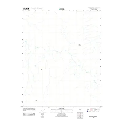
Other maps of this area

1886 · Escalante
USGS Topo · 1:250,000

1886 · Echo Cliffs
USGS Topo · 1:250,000

1891 · Echo Cliffs
USGS Topo · 1:250,000

1951 · Lees Ferry NE
USGS Topo · 1:24,000

1953 · Nipple Butte
USGS Topo · 1:62,500

1954 · Lees Ferry NW
USGS Topo · 1:24,000

1954 · Paria Plateau SE
USGS Topo · 1:24,000

1954 · Lees Ferry SE
USGS Topo · 1:24,000

1954 · Lees Ferry SW
USGS Topo · 1:24,000

1954 · Lees Ferry
USGS Topo · 1:62,500