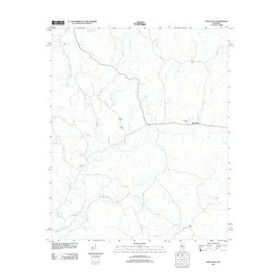
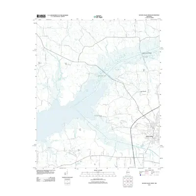
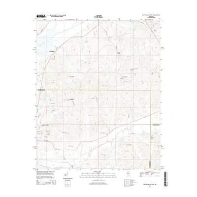
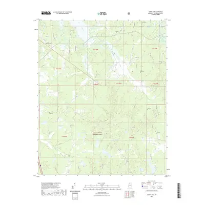
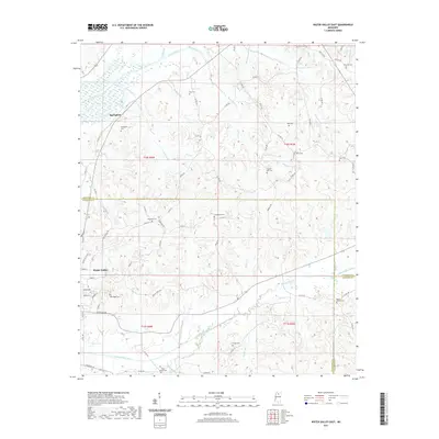
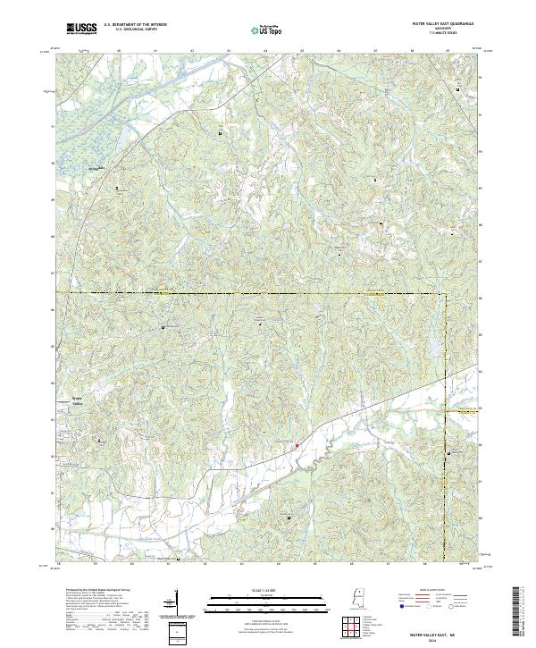
1983 Map of Water Valley East
USGS Topo · Published 1983About this map
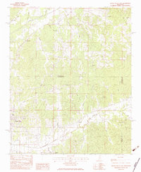
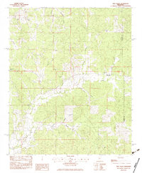
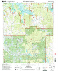
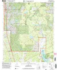
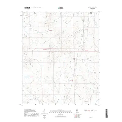
The Yocona River and its dense network of tributaries, including Tidwell Creek and Goodwin Creek, define the north-central Mississippi landscape in this early 1980s provisional study. The eastern periphery of Water Valley is the primary settlement, set against the borders of Lafayette, Yalobusha, and Calhoun Counties. The map reveals a deeply rooted rural community evidenced by numerous small houses of worship and burial grounds. Many are namesake landmarks, such as South Hopewell Ch and Otoucalofa Ch, which served dispersed homesteads throughout the hills. Small family and community cemeteries like Oak Ridge Cem and Wyatt Chapel Cem are tucked away near local watercourses, offering critical data points for genealogists tracing ancestors in the region. The map also records the rural junction of Springdale and various named drainages like Greasy Creek and Hanna Creek that fed the agricultural and timbered valleys.
Find a feature on this map
43 named features on this map. Tap any name to fly to it.
Don’t see what you’re looking for? This feature index may not catch every label — zoom into the map to look around manually.
Map Details
Editions of this 1983 Water Valley East Map
This is the sole edition of this map. No revisions or reprints were ever made.
Historical Maps of Water Valley Through Time
45 maps found
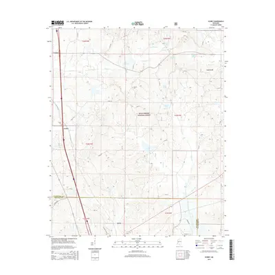
1954 Water Valley West
Yalobusha County, MS
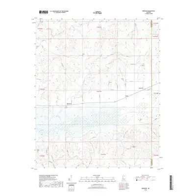
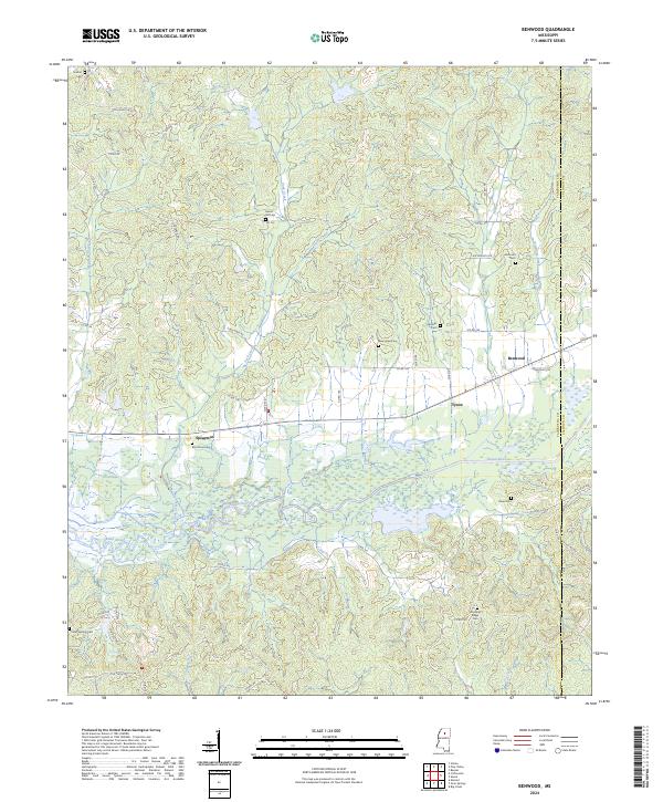
1983 Benwood
Yalobusha County, MS
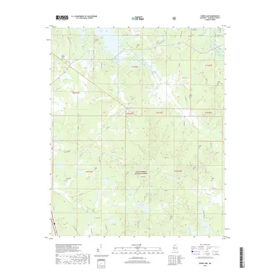
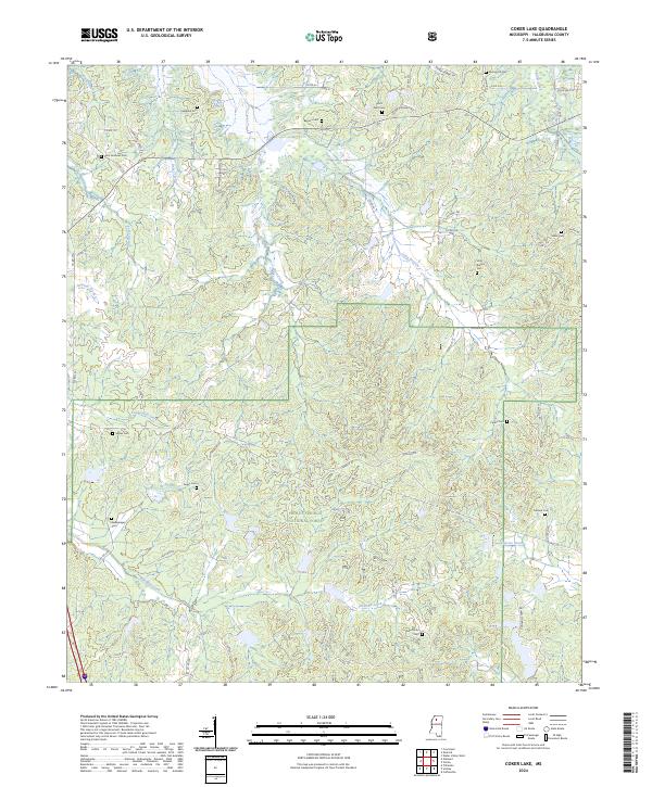
1983 Coker Lake
Yalobusha County, MS
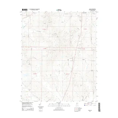
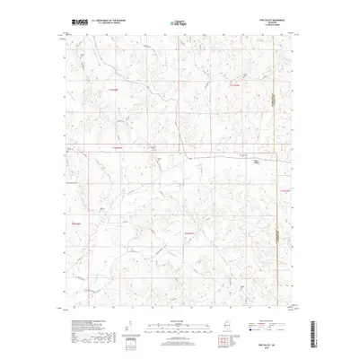
1983 Pine Valley
Yalobusha County, MS
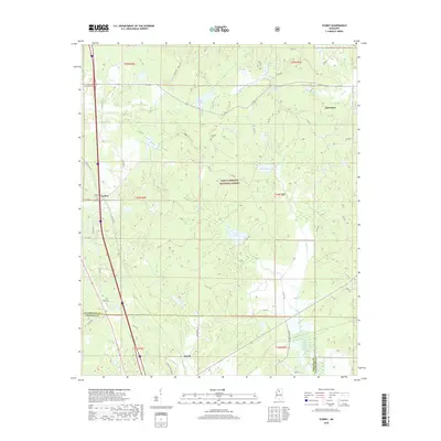
1983 Scobey
Yalobusha County, MS
1983 Velma
Yalobusha County, MS
1983 Water Valley East
Yalobusha County, MS
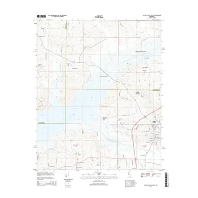
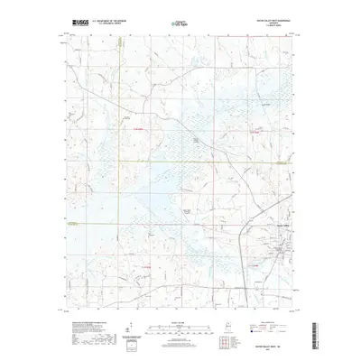
1983 Water Valley West
Yalobusha County, MS
2000 Coker Lake
Yalobusha County, MS
2000 Scobey
Yalobusha County, MS
2012 Benwood
Yalobusha County, MS
2012 Coker Lake
Yalobusha County, MS
2012 Pine Valley
Yalobusha County, MS
2012 Scobey
Yalobusha County, MS
2012 Velma
Yalobusha County, MS
2012 Water Valley East
Yalobusha County, MS
2012 Water Valley West
Yalobusha County, MS
2015 Benwood
Yalobusha County, MS
2015 Coker Lake
Yalobusha County, MS
2015 Pine Valley
Yalobusha County, MS
2015 Scobey
Yalobusha County, MS
2015 Velma
Yalobusha County, MS
2015 Water Valley East
Yalobusha County, MS
2015 Water Valley West
Yalobusha County, MS
2018 Benwood
Yalobusha County, MS
2018 Coker Lake
Yalobusha County, MS
2018 Pine Valley
Yalobusha County, MS
2018 Scobey
Yalobusha County, MS
2018 Velma
Yalobusha County, MS
2018 Water Valley East
Yalobusha County, MS
2018 Water Valley West
Yalobusha County, MS
2020 Benwood
Yalobusha County, MS
2021 Coker Lake
Yalobusha County, MS
2021 Pine Valley
Yalobusha County, MS
2021 Scobey
Yalobusha County, MS
2021 Velma
Yalobusha County, MS
2021 Water Valley East
Yalobusha County, MS
2021 Water Valley West
Yalobusha County, MS
2024 Benwood
Yalobusha County, MS
2024 Coker Lake
Yalobusha County, MS
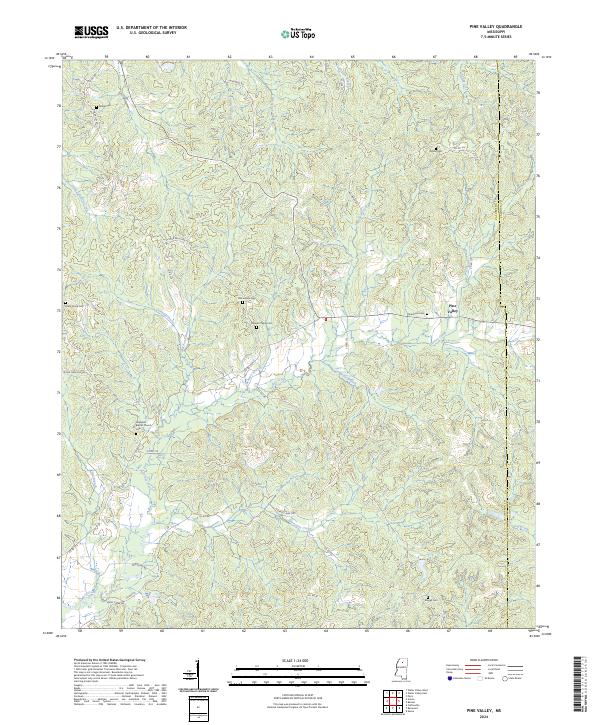
2024 Pine Valley
Yalobusha County, MS
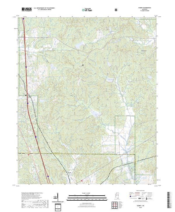
2024 Scobey
Yalobusha County, MS
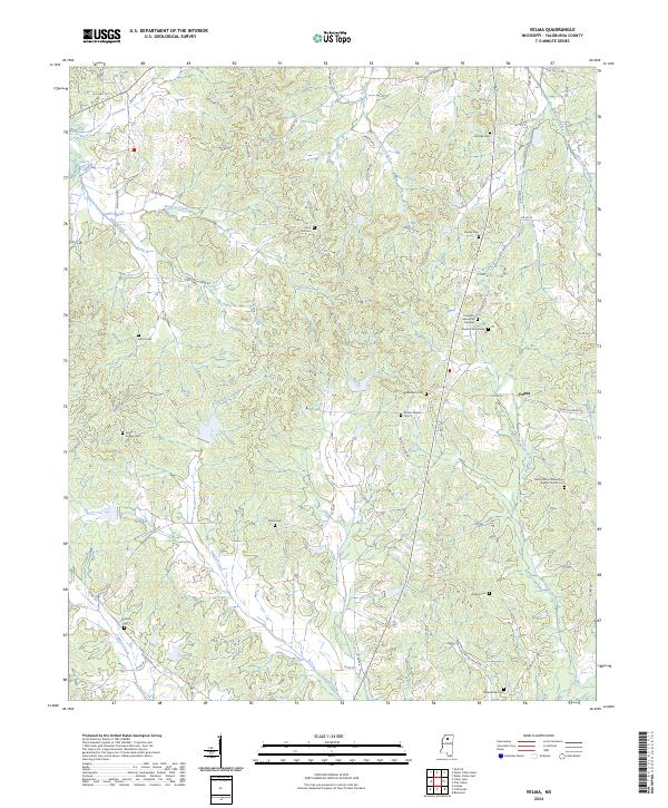
2024 Velma
Yalobusha County, MS
2024 Water Valley East
Yalobusha County, MS
2024 Water Valley West
Yalobusha County, MS