Loading...
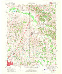
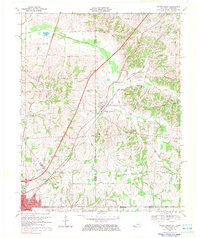
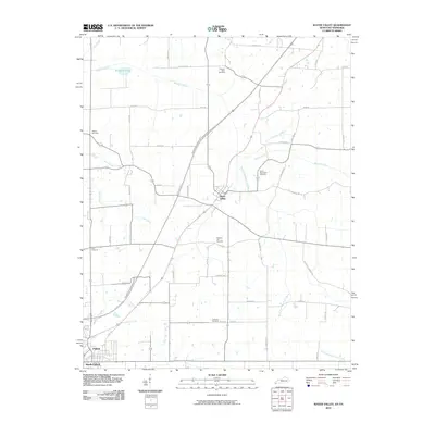
Loading map...1969 Map of Water Valley
USGS Topo · Published 1971About this map
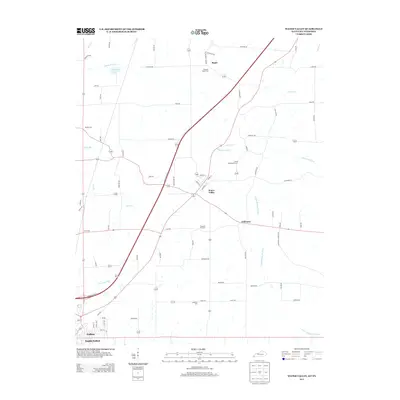
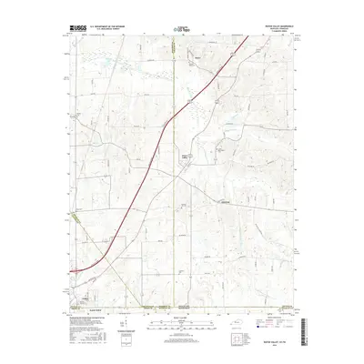
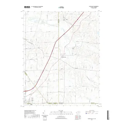
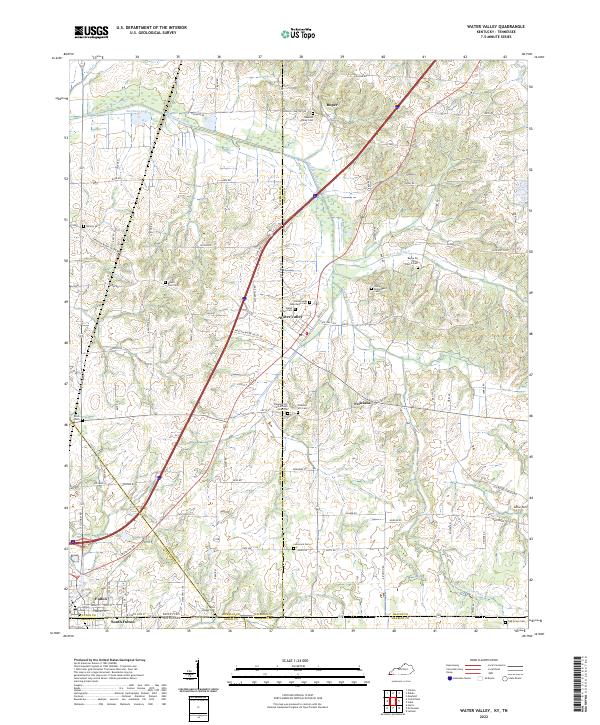
The Illinois Central Railroad and the newly appearing Purchase Parkway define the late-1960s transport corridor of this rural region, where the state lines of Kentucky and Tennessee meet at Fulton and South Fulton. This area is marked by a network of drainage systems like the Bayou de Chien and South Fork Bayou de Chien, which wind through a landscape of family farms and small rural settlements.
Find a feature on this map
47 named features on this map. Tap any name to fly to it.
Don’t see what you’re looking for? This feature index may not catch every label — zoom into the map to look around manually.
Map Details
Date Portrayed1969
Date Published1971
PublisherU.S. Geological Survey
Map TypeTopographic
Scale1:24,000
Physical Dimensions23.1 x 27.4 inches
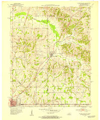
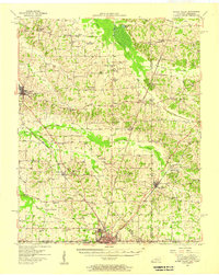
Editions of this 1969 Water Valley Map
2 editions found
Historical Maps of Fulton Through Time
8 maps found
Featured Locations
Source Details
SourceU.S. Geological Survey
CopyrightPublic Domain