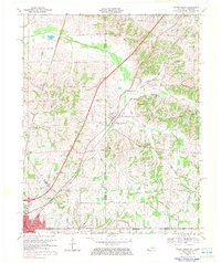
1969 Map of Water Valley
USGS Topo · Published 1983About this map
The Illinois Central railroad corridor anchors this survey of the Kentucky-Tennessee borderlands, connecting the agricultural trade hubs of Water Valley and Fulton. The landscape is defined by the winding course of Bayou de Chien and its various forks, including the South Fork and Harris Fork, which carve through the undulating terrain of Hickman and Graves counties. This era reveals a community deeply rooted in its local institutions, evidenced by the numerous country churches like Boaz Chapel and Trinity Ch.
Find a feature on this map
53 named features on this map. Tap any name to fly to it.
Don’t see what you’re looking for? This feature index may not catch every label — zoom into the map to look around manually.
Map Details
Editions of this 1969 Water Valley Map
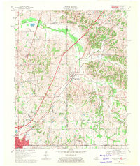
2 editions found
Other maps of this area

1952 · Clinton
USGS Topo · 1:24,000

1952 · Mayfield
USGS Topo · 1:24,000

1952 · Dublin
USGS Topo · 1:24,000

1952 · Crutchfield
USGS Topo · 1:24,000

1952 · Cuba
USGS Topo · 1:24,000

1952 · Water Valley
USGS Topo · 1:24,000

1952 · Mayfield
USGS Topo · 1:62,500

1952 · Water Valley
USGS Topo · 1:62,500

1956 · Harris
USGS Topo · 1:24,000

1956 · Mc Connell
USGS Topo · 1:24,000