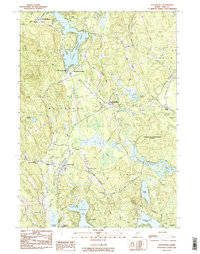
1983 Map of Waterboro
USGS Topo · Published 1984About this map
The Massabesic Experimental Forest dominates the landscape of central York County in this early 1980s study. The survey documents the rural character of Waterboro, Lyman, and Alfred, revealing a geography defined by post-glacial water bodies such as Little Ossipee Pond, Bunganut Pond, and Kennebunk Pond. This era captures the town's distributed settlement pattern, from the historic Waterboro Old Corner and Waterboro Center to the more concentrated village at East Waterboro. Local institutional history is anchored by the Massabesic High Sch and the Notre Dame Institute, while genealogical data is preserved through landmarks like Deering Cem and Chadbourne Cem. Significant topographical features like Ossipee Hill and Roberts Ridge provide a frame for the intricate wetlands of The Heath and the numerous brooks that fed the regional ecosystem before modern development arrived.
Find a feature on this map
42 named features on this map. Tap any name to fly to it.
Don’t see what you’re looking for? This feature index may not catch every label — zoom into the map to look around manually.
Map Details
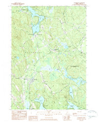
Editions of this 1983 Waterboro Map
2 editions found
Other maps of this area

1891 · Berwick
USGS Topo · 1:62,500

1891 · Kennebunk
USGS Topo · 1:62,500

1891 · Buxton
USGS Topo · 1:62,500

1891 · Newfield
USGS Topo · 1:62,500

1892 · Buxton
USGS Topo · 1:62,500

1893 · Kennebunk
USGS Topo · 1:62,500

1893 · Berwick
USGS Topo · 1:62,500

1893 · Buxton
USGS Topo · 1:62,500

1893 · Newfield
USGS Topo · 1:62,500

1898 · Kennebunk
USGS Topo · 1:62,500