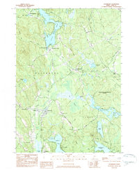
1983 Map of Waterboro
USGS Topo · Published 1984About this map
Little Ossipee Pond and the surrounding woodlands of northern York County define this survey of the Waterboro region during the early 1980s. The settlement pattern is concentrated in several distinct villages, including North Waterboro, Waterboro Center, and East Waterboro, while the southern reaches are dominated by the Massabesic Experimental Forest. Local history is preserved through the locations of the Waterboro Old Corner Ch and the Notre Dame Institute near Bunganut Pond.
Find a feature on this map
60 named features on this map. Tap any name to fly to it.
Don’t see what you’re looking for? This feature index may not catch every label — zoom into the map to look around manually.
Map Details
Editions of this 1983 Waterboro Map
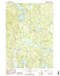
2 editions found
Other maps of this area

1891 · Berwick
USGS Topo · 1:62,500

1891 · Kennebunk
USGS Topo · 1:62,500

1891 · Buxton
USGS Topo · 1:62,500

1891 · Newfield
USGS Topo · 1:62,500

1892 · Buxton
USGS Topo · 1:62,500

1893 · Kennebunk
USGS Topo · 1:62,500

1893 · Berwick
USGS Topo · 1:62,500

1893 · Buxton
USGS Topo · 1:62,500

1893 · Newfield
USGS Topo · 1:62,500

1898 · Kennebunk
USGS Topo · 1:62,500