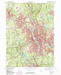
1968 Map of Waterbury
USGS Topo · Published 1985About this map
The Naugatuck River valley serves as the industrial and transit spine for this 1968 study, showing Waterbury at a peak of post-war density. The city center is a complex grid of urban infrastructure, featuring Riverside Cemetery and the Waterbury Country Club amidst rising hills. Purple tints indicate significant urban expansion since the earlier 1944 topography, particularly around Town Plot Hill and Bunker Hill.
Find a feature on this map
175 named features on this map. Tap any name to fly to it.
Don’t see what you’re looking for? This feature index may not catch every label — zoom into the map to look around manually.
Map Details
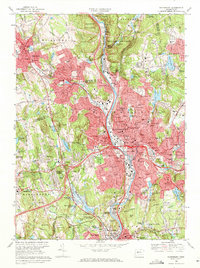
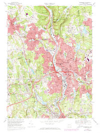
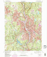
Editions of this 1968 Waterbury Map
4 editions found
Other maps of this area

1889 · Derby
USGS Topo · 1:62,500

1891 · Derby
USGS Topo · 1:62,500

1892 · New Haven
USGS Topo · 1:62,500

1892 · Meriden
USGS Topo · 1:62,500

1893 · Waterbury
USGS Topo · 1:62,500

1893 · Meriden
USGS Topo · 1:62,500

1893 · Derby
USGS Topo · 1:62,500

1904 · Waterbury
USGS Topo · 1:62,500

1904 · Litchfield
USGS Topo · 1:125,000

1906 · Farmington
USGS Topo · 1:125,000