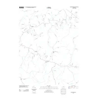
2013 Map of Waterford
USGS Topo · Published 2013About this map
The Salt River winds through this landscape south of Louisville, defining the drainage patterns for numerous local tributaries like Plum Cr and Chadbourn Br. This 2013 survey illustrates a region where residential development and small settlements are closely tied to the winding road network and the natural contours of the land. Small clusters of habitation are evident at Waterford, Crenshaw, and Whitfield, while newer developments like Silo Farms indicate the area's continued growth as a suburban-rural fringe.
Find a feature on this map
105 named features on this map. Tap any name to fly to it.
Don’t see what you’re looking for? This feature index may not catch every label — zoom into the map to look around manually.
Map Details
Editions of this 2013 Waterford Map
This is the sole edition of this map. No revisions or reprints were ever made.
Other maps of this area

1907 · Louisville
USGS Topo · 1:62,500

1929 · Taylorsville
USGS Topo · 1:62,500

1949 · Samuels
USGS Topo · 1:24,000

1949 · Shepherdsville
USGS Topo · 1:62,500

1951 · Jeffersontown
USGS Topo · 1:24,000

1951 · Fisherville
USGS Topo · 1:24,000

1951 · Waterford
USGS Topo · 1:24,000

1951 · Mount Washington
USGS Topo · 1:24,000
1951 · Louisville
USGS Topo · 1:62,500

1953 · Bloomfield
USGS Topo · 1:24,000