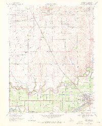
1969 Map of Waterford
USGS Topo · Published 1971About this map
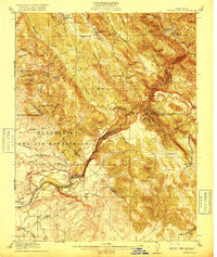
The Tuolumne River and Stanislaus River anchor this late-1960s landscape, where an intricate network of irrigation and infrastructure supported Central Valley agriculture. The settlement of Waterford is the primary hub, situated near the southern edge where the Lower Waterford Canal and Modesto Main Canal move water across the valley floor. Evidence of the Spanish and Mexican land grant legacy persists in the northern portion of the map with the boundary of the Eight Square Leagues on Stanislaus River.
Find a feature on this map
32 named features on this map. Tap any name to fly to it.
Don’t see what you’re looking for? This feature index may not catch every label — zoom into the map to look around manually.
Map Details
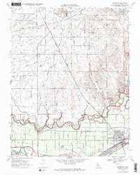
Editions of this 1969 Waterford Map
2 editions found
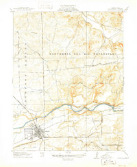
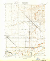
Other maps of this area
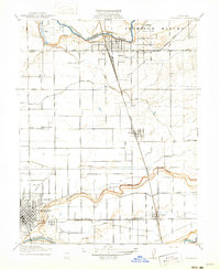
1915 · Oakdale
USGS Topo · 1:31,680

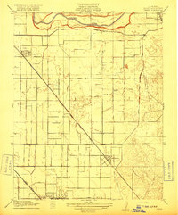
1915 · Paulsell
USGS Topo · 1:31,680
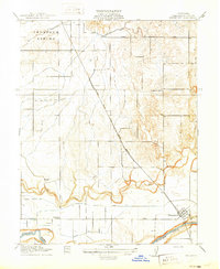
1915 · Thalheim
USGS Topo · 1:31,680

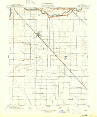
1916 · Montpellier
USGS Topo · 1:31,680
1916 · Riverbank
USGS Topo · 1:31,680
1916 · Denair
USGS Topo · 1:31,680
1916 · Waterford
USGS Topo · 1:31,680
1916 · Ceres
USGS Topo · 1:31,680
1916 · Copperopolis
USGS Topo · 1:62,500

1939 · Modesto East
USGS Topo · 1:62,500