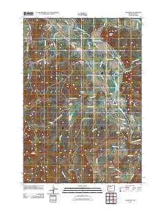
2011 Map of Waterloo
USGS Topo · Published 2011About this map
The South Santiam River winds through this section of Linn County, shaping a landscape of agricultural valleys and timber-rich uplands during the early 21st century. The map highlights the industrial activity of the region, specifically at the Bauman Lumber Company near Fairview and the Boise Cascade Plywood facility located south of Liberty. These sites, along with the numerous named creeks like Noble Creek and McDowell Creek, underscore the area's reliance on its natural resources.
Find a feature on this map
69 named features on this map. Tap any name to fly to it.
Don’t see what you’re looking for? This feature index may not catch every label — zoom into the map to look around manually.
Map Details
Editions of this 2011 Waterloo Map
This is the sole edition of this map. No revisions or reprints were ever made.
Other maps of this area

1911 · Brownsville
USGS Topo · 1:31,680

1911 · Lebanon
USGS Topo · 1:31,680

1921 · Brownsville
USGS Topo · 1:62,500

1921 · Lebanon
USGS Topo · 1:62,500

1922 · Lebanon
USGS Topo · 1:48,000

1924 · Lebanon
USGS Topo · 1:62,500

1940 · Lebanon
USGS Topo · 1:62,500

1944 · Lebanon
USGS Topo · 1:62,500

1950 · Brownsville
USGS Topo · 1:62,500

1951 · Sweet Home
USGS Topo · 1:62,500