
1913 Map of Waterloo
USGS Topo · Published 1913About this map
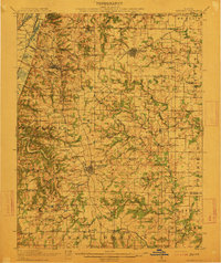
Waterloo and Millstadt anchor this 1910 survey of the uplands and river bluffs east of the Mississippi River. The landscape is defined by a dense network of country schools, including Blackburn School, Vogel School, and Baum School, which served the scattered farming communities of Monroe and St. Clair counties. Transportation was dominated by the Mobile and Ohio RR, which connected agricultural centers like Columbia and New Hanover Sta to the wider region.
Find a feature on this map
85 named features on this map. Tap any name to fly to it.
Don’t see what you’re looking for? This feature index may not catch every label — zoom into the map to look around manually.
Map Details
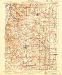
Editions of this 1913 Waterloo Map
3 editions found
Other maps of this area

1888 · St. Louis
USGS Topo · 1:62,500

1907 · Belleville
USGS Topo · 1:62,500

1910 · Waterloo
USGS Topo · 1:62,500

1912 · New Athens
USGS Topo · 1:62,500

1912 · Kimmswick
USGS Topo · 1:62,500

1912 · Baldwin
USGS Topo · 1:62,500

1914 · Baldwin
USGS Topo · 1:62,500

1915 · Renault
USGS Topo · 1:62,500

1915 · Crystal City
USGS Topo · 1:62,500

1916 · Kimmswick
USGS Topo · 1:62,500