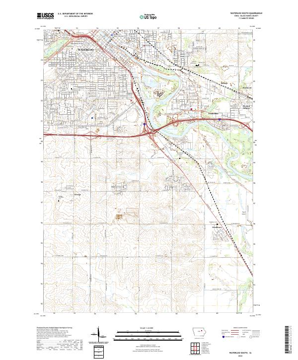
2022 Map of Waterloo South
USGS Topo · Published 2022About this map
Waterloo and its southeastern neighbors occupy this section of the Cedar River valley, where urban development transitions into the agricultural grid of Black Hawk County. The map details a sophisticated network of recreation and transport, including the Cedar Valley Nature Trl and the Downtown Riverwalk Loop Trl, which follow the river through Evansdale and Elk Run Heights. The administrative heart of the region is centered at the Black Hawk County Courthouse, while higher education is represented by the Hawkeye Community College Main Campus to the south.
Find a feature on this map
36 named features on this map. Tap any name to fly to it.
Don’t see what you’re looking for? This feature index may not catch every label — zoom into the map to look around manually.
Map Details
Editions of this 2022 Waterloo South Map
This is the sole edition of this map. No revisions or reprints were ever made.
Historical Maps of Orange Through Time
8 maps found
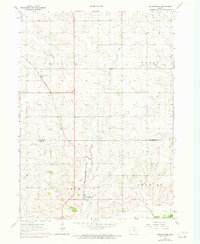
1963 Buckingham
Black Hawk County, IA
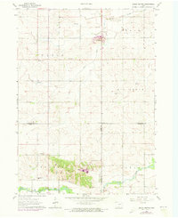
1963 Eagle Center
Black Hawk County, IA
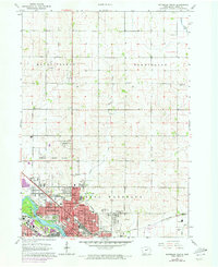
1963 Waterloo North
Black Hawk County, IA
1963 Waterloo South
Black Hawk County, IA
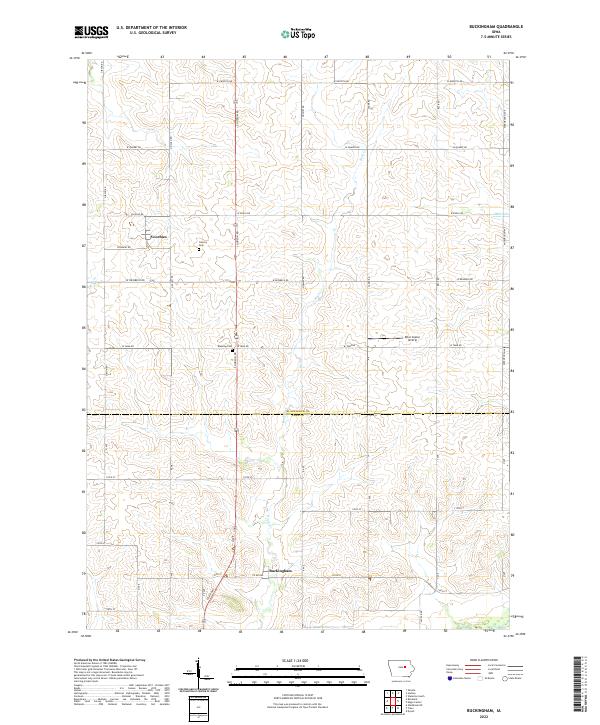
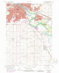
2022 Buckingham
Black Hawk County, IA
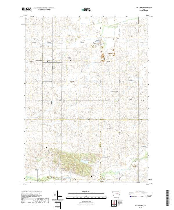
2022 Eagle Center
Black Hawk County, IA
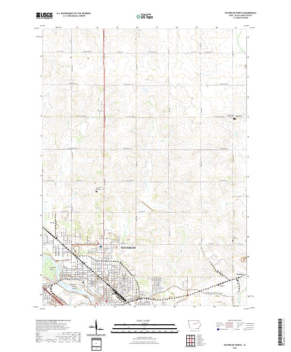
2022 Waterloo North
Black Hawk County, IA
2022 Waterloo South
Black Hawk County, IA