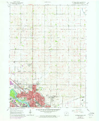
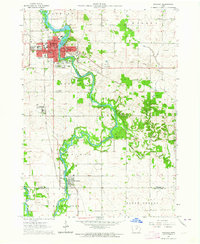
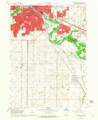
1963 Map of Waterloo North
USGS Topo · Published 1973About this map
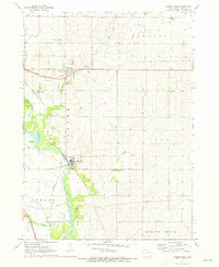
The Cedar River flows through the urban heart of this Black Hawk County landscape, anchoring the northern expansion of Waterloo. During the mid-20th century, the city's growth is captured through suburban additions like City View Heights and the industrial corridors served by the Chicago and North Western and Waterloo Railroad. The map reveals a dense network of civic and religious institutions, including Allen Memorial Hospital and several parochial schools such as St Marys Sch and Our Lady of Victory Sch.
Find a feature on this map
49 named features on this map. Tap any name to fly to it.
Don’t see what you’re looking for? This feature index may not catch every label — zoom into the map to look around manually.
Map Details
Editions of this 1963 Waterloo North Map
2 editions found
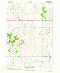
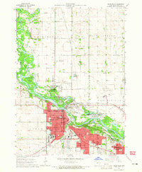
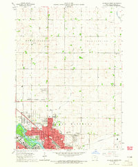
Other maps of this area

1954 · Waterloo
USGS Topo · 1:250,000

1955 · Waterloo
USGS Topo · 1:250,000
1963 · Waverly
USGS Topo · 1:24,000
1963 · Denver
USGS Topo · 1:24,000
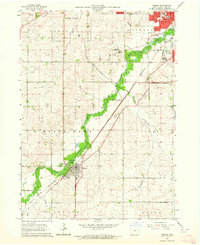
1963 · Hudson
USGS Topo · 1:24,000
1963 · Waterloo South
USGS Topo · 1:24,000
1963 · Cedar Falls
USGS Topo · 1:24,000
1963 · Waterloo North
USGS Topo · 1:24,000
1971 · Readlyn
USGS Topo · 1:24,000
1971 · Gilbertville
USGS Topo · 1:24,000