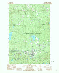
1982 Map of Watersmeet
USGS Topo · Published 1983About this map
Watersmeet serves as a central hub in the early 1980s, situated at the confluence of the Chicago and North Western rail line and the Middle Branch Ontonagon River. This provisional survey illustrates a landscape defined by the Ottawa National Forest, where the transition from industrial rail transport to recreational forest land is evident. The presence of the Old Railroad Grade and an active Treatment Plant near the town center points to a community built on the logistics of timber and transit, while the Gravel Pit Cem offers a specific point of interest for local genealogists. To the north, the geography becomes increasingly water-focused, featuring Ajibikoka Falls and the secluded Sylvania tract, highlighting the area's identity as a gateway to the north woods lake country.
Find a feature on this map
40 named features on this map. Tap any name to fly to it.
Don’t see what you’re looking for? This feature index may not catch every label — zoom into the map to look around manually.
Map Details
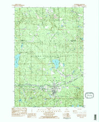
Editions of this 1982 Watersmeet Map
2 editions found
Other maps of this area

1938 · Phelps
USGS Topo · 1:48,000

1946 · Star Lake
USGS Topo · 1:48,000

1950 · Phelps
USGS Topo · 1:48,000

1950 · Star Lake
USGS Topo · 1:48,000

1952 · Watersmeet
USGS Topo · 1:62,500

1952 · Thayer
USGS Topo · 1:62,500

1955 · Starlake
USGS Topo · 1:62,500

1956 · Phelps
USGS Topo · 1:62,500

1958 · Iron River
USGS Topo · 1:250,000

1960 · Iron River
USGS Topo · 1:250,000