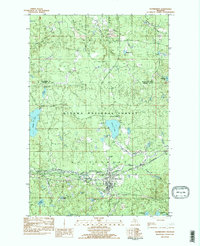
1982 Map of Watersmeet
USGS Topo · Published 1983About this map
Watersmeet serves as the central hub of this survey, situated where the Chicago and North Western rail line and numerous watercourses converge. Located within the Ottawa National Forest, the landscape is defined by the Middle Branch Ontonagon River and its tributaries, such as Bonifas Creek and Duck Creek. The geography reveals a legacy of resource extraction and infrastructure, evidenced by a Gravel Pit, a Treatment Plant, and an Old Railroad Grade that speaks to the region's evolving transportation network.
Find a feature on this map
44 named features on this map. Tap any name to fly to it.
Don’t see what you’re looking for? This feature index may not catch every label — zoom into the map to look around manually.
Map Details
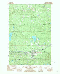
Editions of this 1982 Watersmeet Map
2 editions found
Other maps of this area

1938 · Phelps
USGS Topo · 1:48,000

1946 · Star Lake
USGS Topo · 1:48,000

1950 · Phelps
USGS Topo · 1:48,000

1950 · Star Lake
USGS Topo · 1:48,000

1952 · Watersmeet
USGS Topo · 1:62,500

1952 · Thayer
USGS Topo · 1:62,500

1955 · Starlake
USGS Topo · 1:62,500

1956 · Phelps
USGS Topo · 1:62,500

1958 · Iron River
USGS Topo · 1:250,000

1960 · Iron River
USGS Topo · 1:250,000