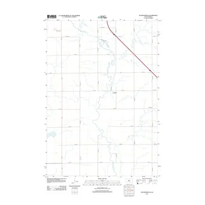
2012 Map of Watertown SE
USGS Topo · Published 2012About this map
The Big Sioux River snakes through this agricultural landscape southeast of Watertown, carving a meandering path through the prairie of Codington County. The small settlement of Appleby sits centrally along the river's eastern banks, serving as a quiet focal point in a territory otherwise defined by the rigid grid of rural section roads. This 2012 survey shows the modern persistence of the township road system, where corridors like 177th St and 458th Ave provide access to the expansive farmsteads of the region. Near the northern boundary, Willow Cr joins the main river channel just south of Meadow Lake Rd, highlighting the drainage patterns that have long dictated the placement of homesteads and infrastructure in this part of South Dakota.
Find a feature on this map
21 named features on this map. Tap any name to fly to it.
Don’t see what you’re looking for? This feature index may not catch every label — zoom into the map to look around manually.
Map Details
Editions of this 2012 Watertown SE Map
This is the sole edition of this map. No revisions or reprints were ever made.
Other maps of this area

1953 · Watertown
USGS Topo · 1:250,000

1958 · Watertown
USGS Topo · 1:250,000

1969 · Hayti
USGS Topo · 1:24,000

1969 · Dempster
USGS Topo · 1:24,000

1969 · Castlewood
USGS Topo · 1:24,000

1969 · Watertown West
USGS Topo · 1:24,000

1969 · Pelican Lake
USGS Topo · 1:24,000

1969 · Watertown SE
USGS Topo · 1:24,000

1969 · Watertown East
USGS Topo · 1:24,000

1970 · Kranzburg SW
USGS Topo · 1:24,000