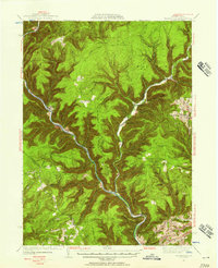
1937 Map of Waterville
USGS Topo · Published 1957About this map
Pine Creek carves a deep path through the heart of this landscape, anchoring a series of small settlements and logging-era outposts in the Lycoming County backcountry. In the late 1930s, places like Cammal, Jersey Mills, and English Center served as vital hubs for the remote upland terrain. The presence of the CCC Camp near Waterville reflects the era's conservation efforts, while numerous upland trails like the Lebo Trail and Parker Trail suggest a region transitioning from heavy timbering toward a recreational and managed forest landscape. Local genealogy is well-represented through family-linked landmarks and several burial grounds, including the Okome Cem and Carsontown Cem. Higher elevations are defined by prominent ridges such as Chestnut Ridge and Longs Ridge, overlooking a dense network of mountain streams including Little Pine Creek and Lick Run.
Find a feature on this map
80 named features on this map. Tap any name to fly to it.
Don’t see what you’re looking for? This feature index may not catch every label — zoom into the map to look around manually.
Map Details
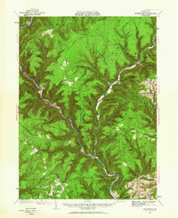
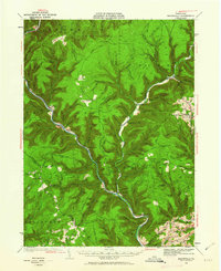
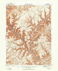
Editions of this 1937 Waterville Map
5 editions found

Other maps of this area

1921 · Howard
USGS Topo · 1:48,000

1921 · Williamsport
USGS Topo · 1:48,000

1921 · Trout Run
USGS Topo · 1:62,500

1921 · Lock Haven
USGS Topo · 1:62,500

1923 · Howard
USGS Topo · 1:62,500

1923 · Lock Haven
USGS Topo · 1:62,500

1923 · Trout Run
USGS Topo · 1:62,500

1923 · Williamsport
USGS Topo · 1:62,500

1925 · Blossburg
USGS Topo · 1:62,500

1927 · Blossburg
USGS Topo · 1:62,500
Featured Places
- Gallagher Township, PA
- Brookside, Cogan House Township
- Mifflin Township, PA
- Cogan House Township, PA
- Carsontown, Pine Township